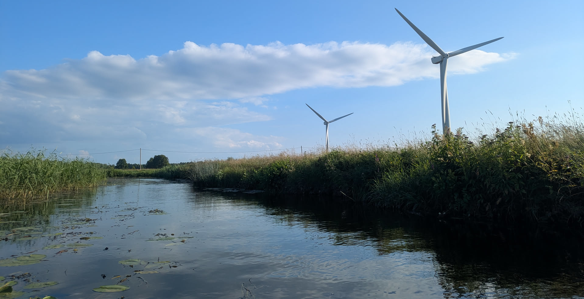
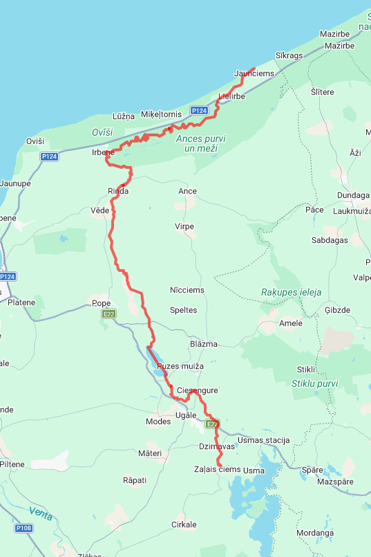
Figure 1: An overview of the route we kayaked. (Click to enlarge.)
After the success of last year’s 4 day kayaking trip on the Abava river, this year we (a mixed group of family and friends) decided to go again, this time on the nearby Engure, Rinda, and Irbe rivers. This long-distance route is much less popular than the Abava, but the second half on the Irbe is by itself a popular weekend outing.
This post gives an overview of the route, logistics of the trip, and things to do and see along the way.
We were with a group of 7 people and 2 dogs (1 big and 1 tiny), spread over 4 boats (3x 2 persons and 1 single). The Engure originates in the Usma lake, and we started our trip just 1 km after the lake. (I believe the lake requires a permit for boating.) We arrived at the campsite there 1 day early, and then did the ~24 km of this river on the first day. We found a beautiful camping spot around 1 km before it ends in the lake, on a high-and-dry cliff covered by open and spacious pine forest. The second day (33 km), we crossed the lake and did most of the Rinda river, ending 1 km after the Rinda village at a public camp ground and a few kilometers before the Rinda joins the Irbe. The third (22 km) and fourth days (18 km), we spend on the Irbe, with again a night of wild camping halfway the river. As this was over the weekend, the river was quite a bit more busy including a group of 30 people. Luckily these groups are slow and easy to pass. The last day, the landscape slowly changes from higher dunes to more flat forests, eventually ending in a 2 km sandbank on the left that is the last bit of land separating the river from the sea.
The Route Link to heading
Prep Link to heading
I met some of the others (including our local connection ;) in Riga on Monday evening. On Tuesday, we mostly took it easy and explored Riga’s market, but then also had to drive back-and-forth to the country house to pick up the pot for on the fire, as well as a fishing rod and some miscellaneous camping gear.
In the evening, we prepared a breakfast mix for each day, consisting of different oats mixed with dried fruits, raisins, and various fried nuts. We also made one more round of jerky (dried meat): buy any meat, slice it in ~5 mm thick pieces, add spices, wait some hours, and the put them in a dehydrator for ~4 hours on 70 degrees.
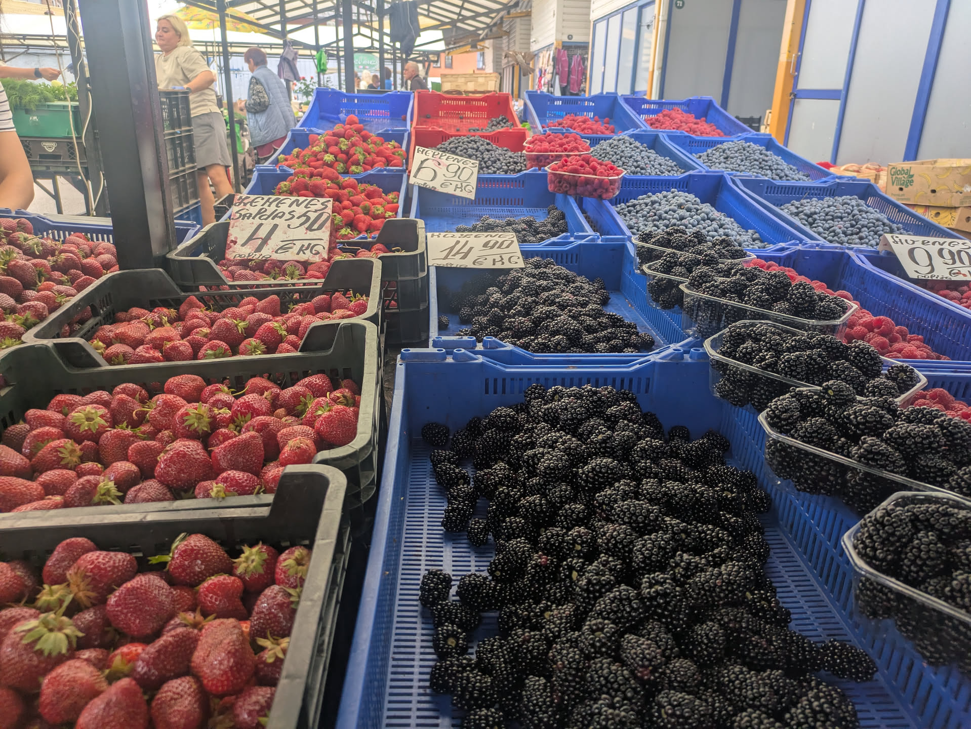
Figure 2: The Riga market.
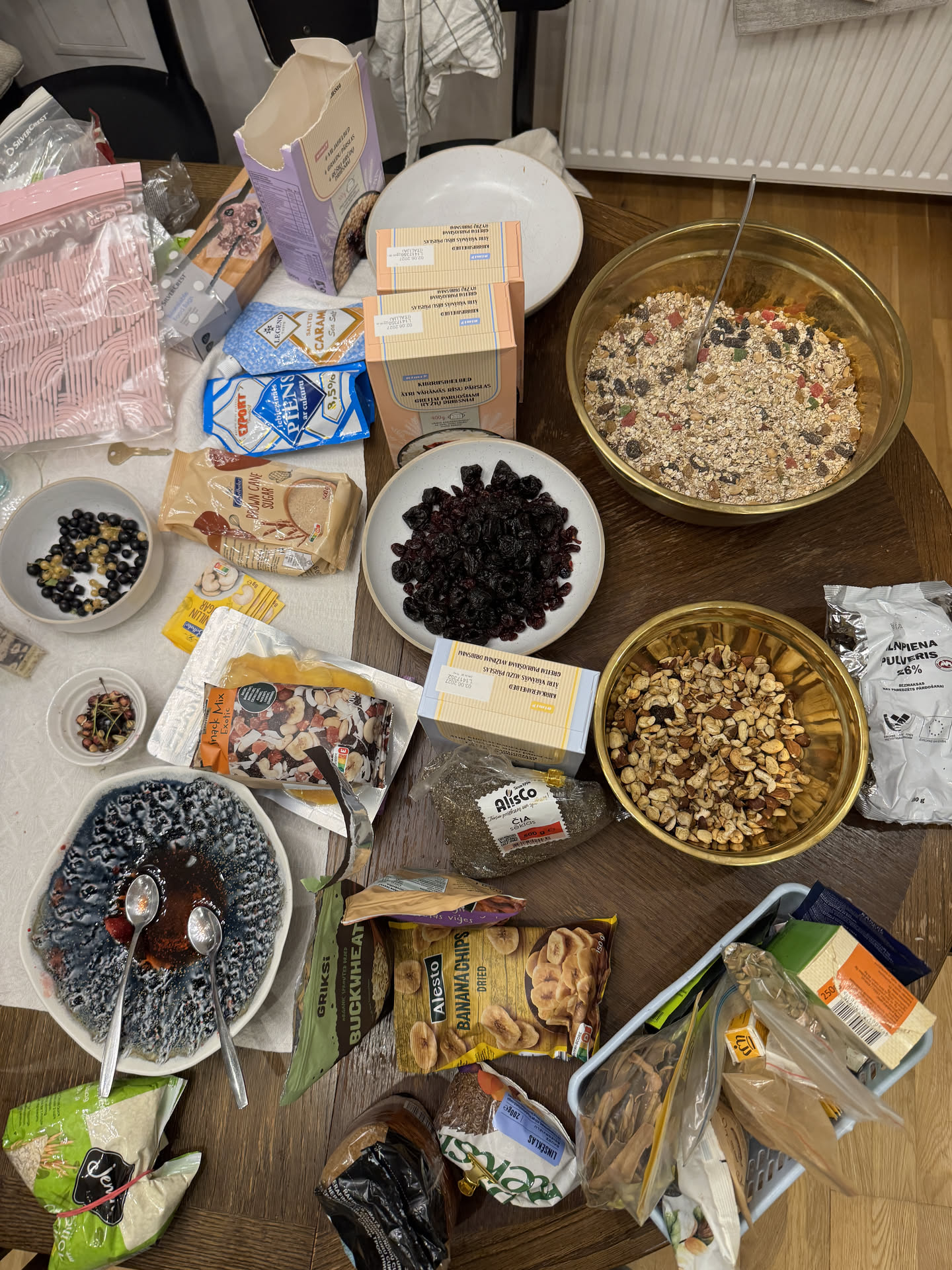
Figure 3: Breakfast prep.
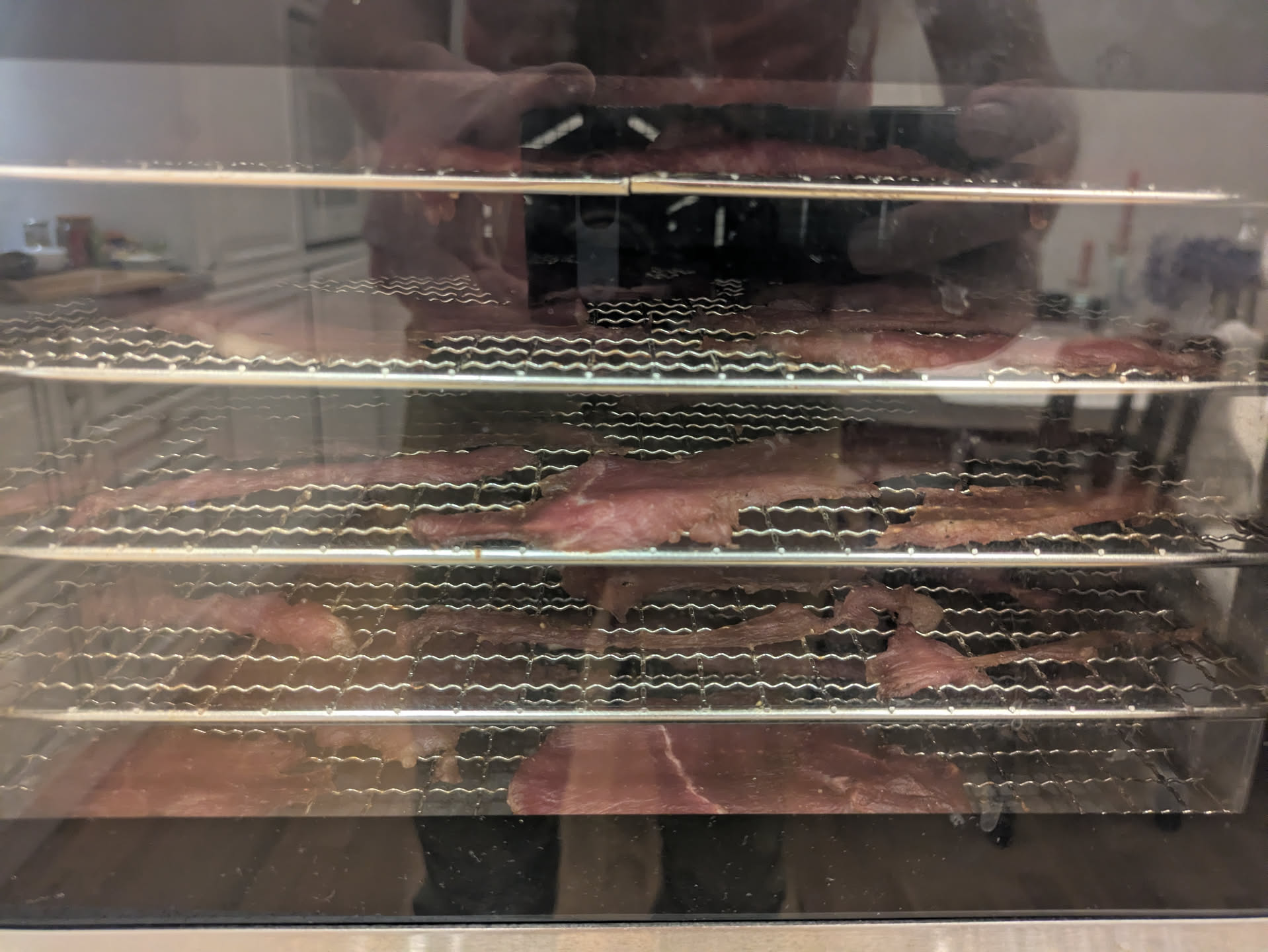
Figure 4: Jerky in progress.
Day 0 Link to heading
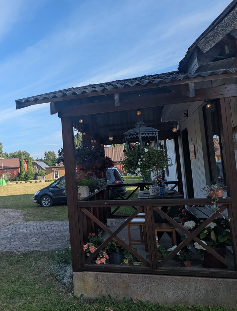
Figure 5: The local restaurant.
After some more errands in the morning, we departed to the starting point. Planned stops along the way included a construction store to buy some additional tarps (4x5 m sheets of construction plastic, just to keep stuff dry in case of rain), as well as the Maxima XXX for buying most of the food and drinks for the trip. Unfortunately, it turned out that the Maxima XXX is no more because there’s some ongoing construction work. (Google Maps was happy to inform us that the place was less busy than usual, but by now has been updated to temporarily closed.) [The first 20 minutes of delay.]
So anyway, we drove to a nearby Lidl and got most of what we needed. Also the doggie got some kisses from one of the employees. Only self-checkout was open but they were happy to open a lane for us. Less happy, the system needed a software update, and we waited a good 15 minutes before they were finally able to boot the adjacent checkout (and we had to move over all our stuff). [The second 20 minutes of delay.]
Then along the rest of the ride (which was filled with stories of driving across Europe with overly packed cars), we made some additional stops for the remaining groceries. After the last stop we realized we hadn’t taken cash, and the first camping needed payment in cash, so that was one more 10 km detour to a cash machine (coincidentally in Kandava, the start of the Abava river). [Another 20 minutes of delay.]
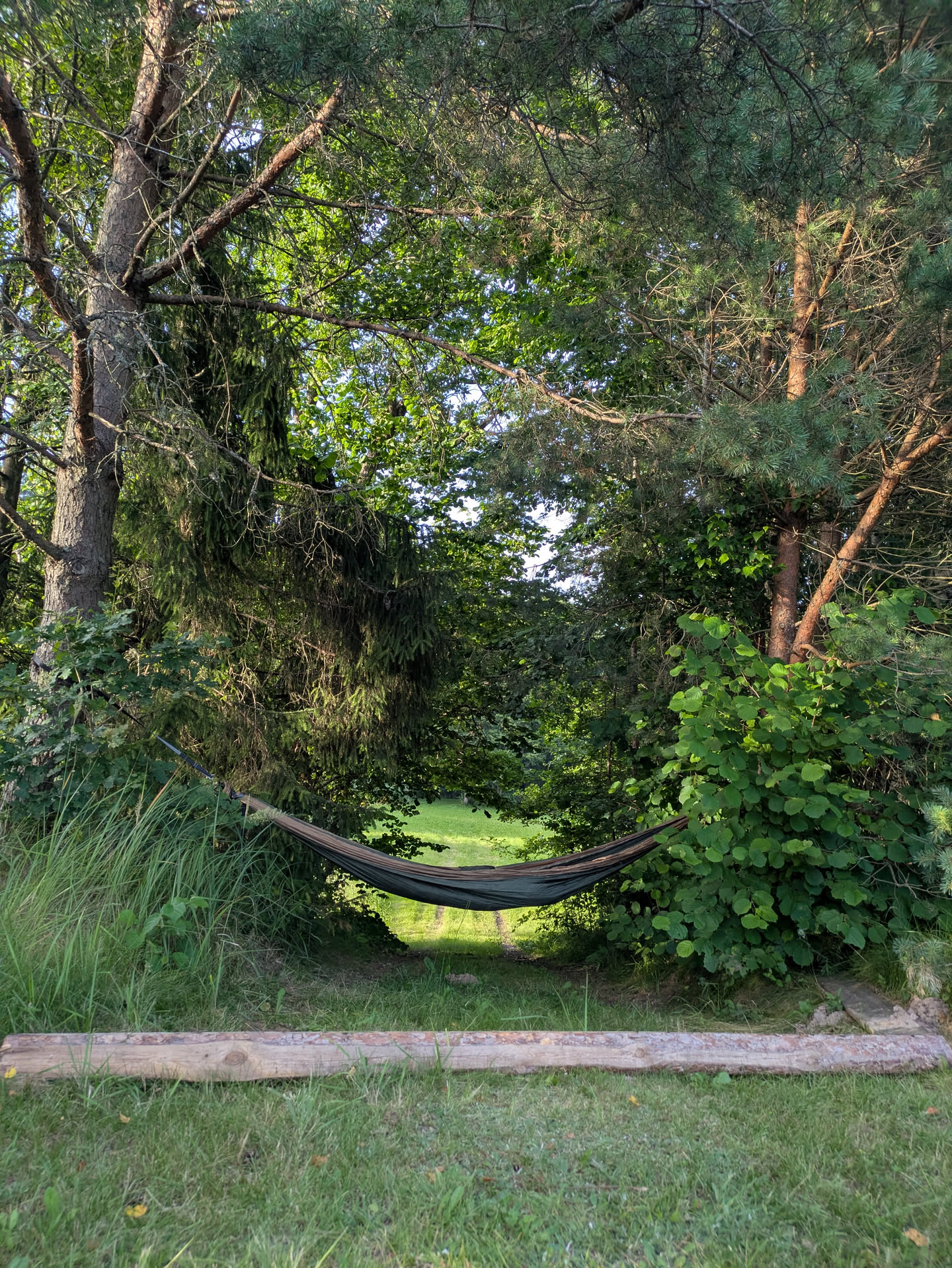
Figure 6: My hammock, not yet with musquito net.
In the evening, we finally had our rendezvous with the four others (who all drove/trained from NL/Poland) at the tinyest restaurant ever in the most middle of nowhere ever. There was lots of chaos over there only being 1 outside table and thus only being able to host 1 group with dog, and the fact that there were 2 reservations with dogs, but in the end we were the only ones there, aside of course from the very friendly lady who served us.
We then drove to the campsite (Ozoldangas brīvdienu māja) where some of the others had already set up camp. After pitching our own tents and hammock, we enjoyed the local wood-heated sauna, a jump in the river, as well as the local swatting ritual involving fresh birch twigs.
We left the cars parked at the campsite for the full 4 days of our trip for a small fee.
Day 1: Engure river to lake Link to heading
23 km; 5h moving; 8h total
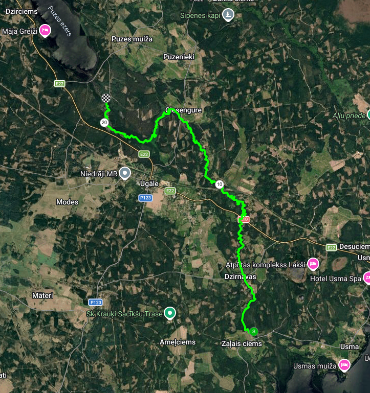
Figure 7: Day 1 route: Engure river.
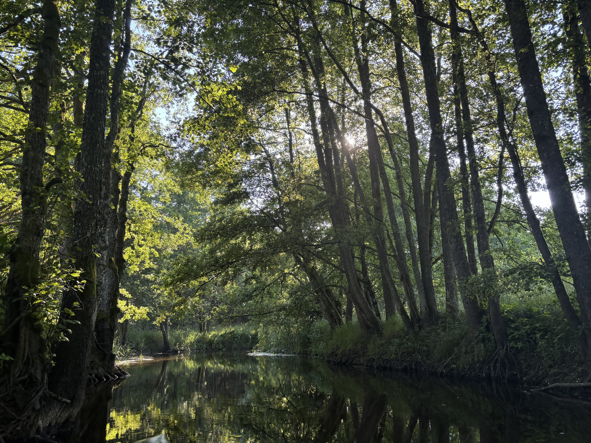
Figure 8: Day 1 scenery.
We rented boats at https://www.trolli.lv and they got dropped of in the morning at our campsite. From there, we carried them 100m to the river and then loaded them up with all our tents, food, and water.
The Engure is a small river and we had to navigate around fallen trees pretty much constantly. After a few kilometers, at Dzirnavas, there is a mill where we had to get out of the water. It’s best to get out on the right, as close to the road as possible. Then we unloaded the boats, carried them over the road, and put them in again.
After much more zig-zagging through the landscape, we had lunch at a random forest field next to the river.
In the afternoon, the river gets a bit wider, and we split up so the first boats could start looking for a place to camp. Most of the terrain is through wet fields, but at some point (maps) around 1km before the bridge and lake, a nice sandy hill with a pine forest on top appeared. Alternatively, there is also a public camp ground on the left just after the bridge in front of the lake (maps).
This day is not too far, but the pace is slow because of all the fallen trees and the lack of a strong current in the river.
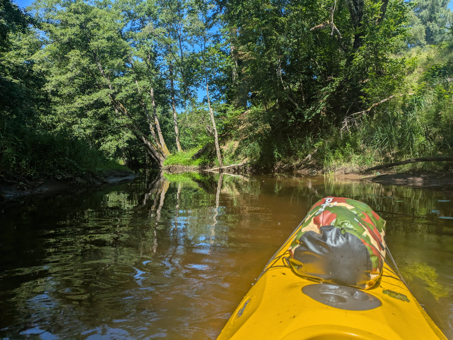
Figure 9: View from kayak.
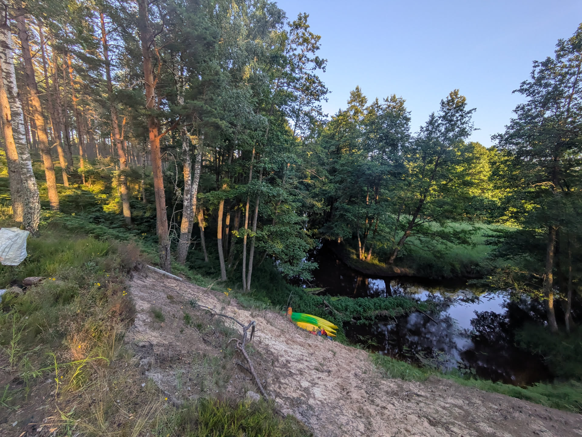
Figure 10: The parked boats.
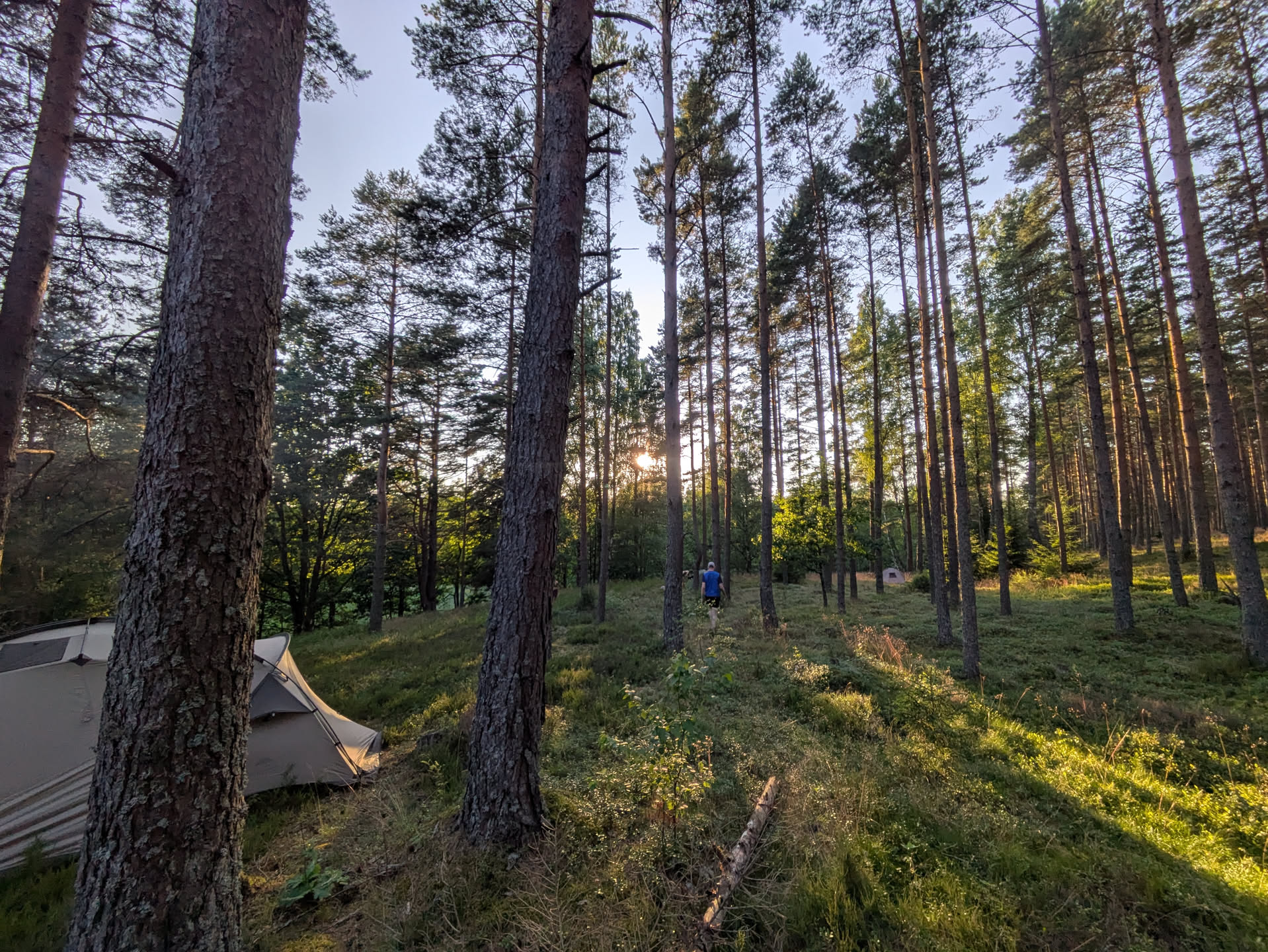
Figure 11: The campsite.
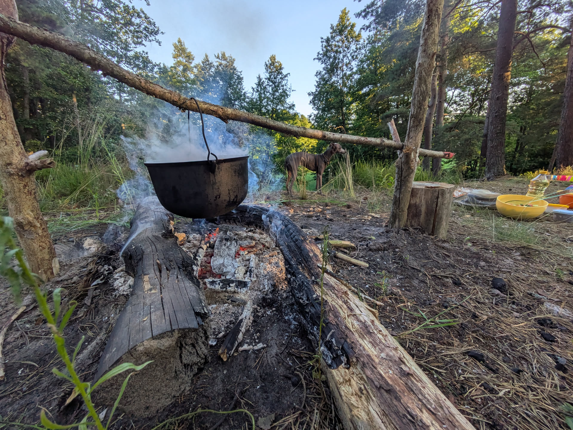
Figure 12: Our self-made fireplace.
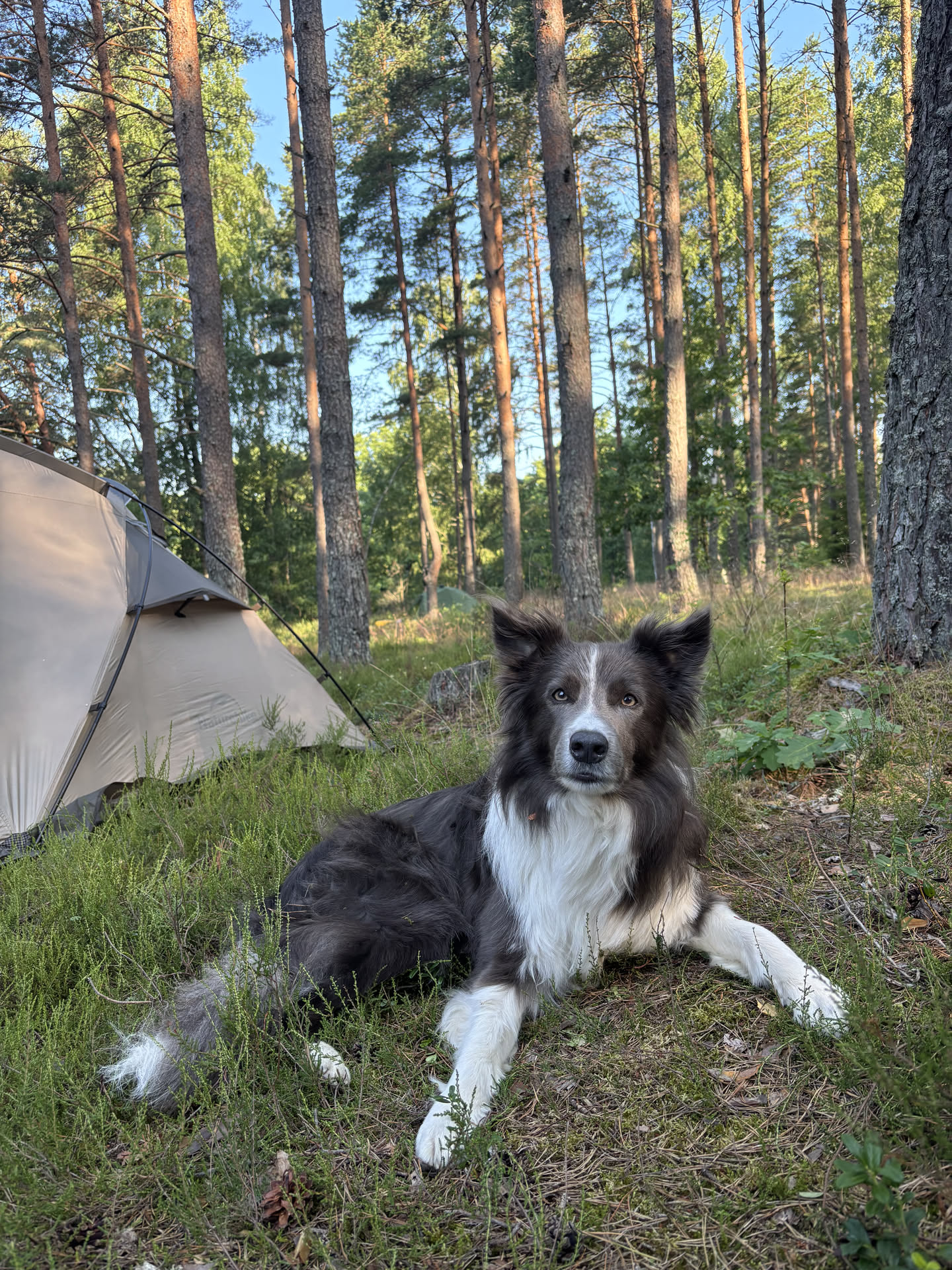
Figure 13: Speaks for itself.
Day 2: Lake + Rinda river to Rinda Link to heading
33km; 6.5h moving; 11.5h total.
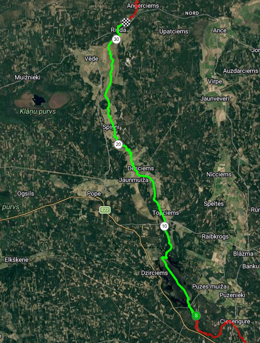
Figure 14: Day 2 route: Rinda river.
The second day is a long one: we tried to start early (with some success; 10:15 instead of 11:15 the day before) and wanted to go beyond the Rinda village to be ahead of the weekend crowd starting there on Saturday morning.
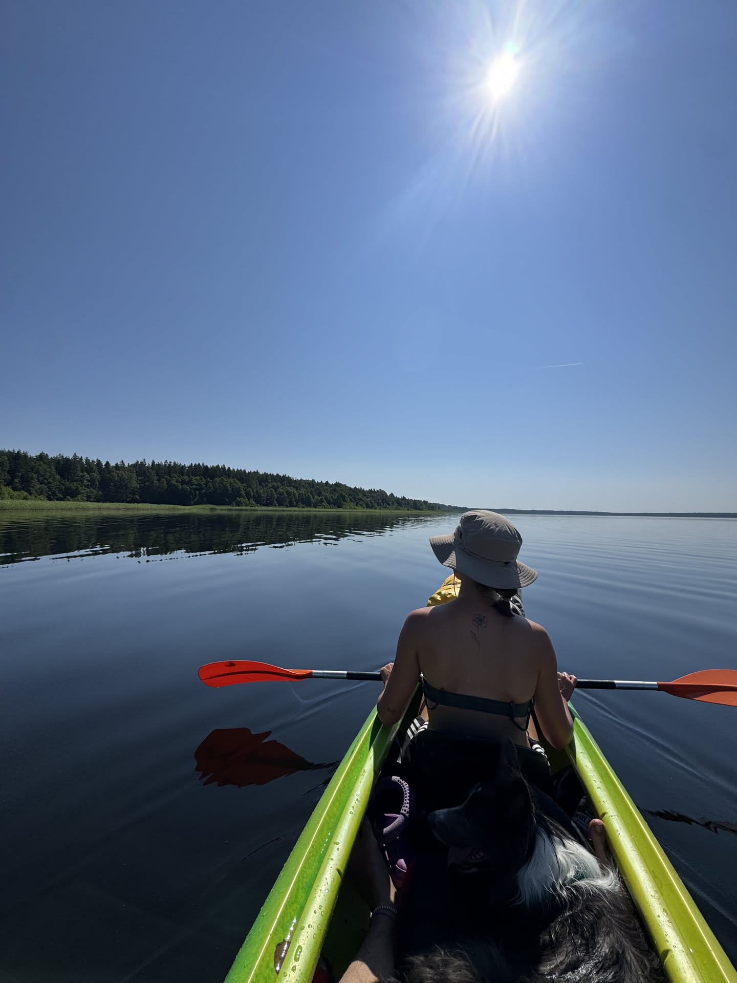
Figure 15: A very blue lake.
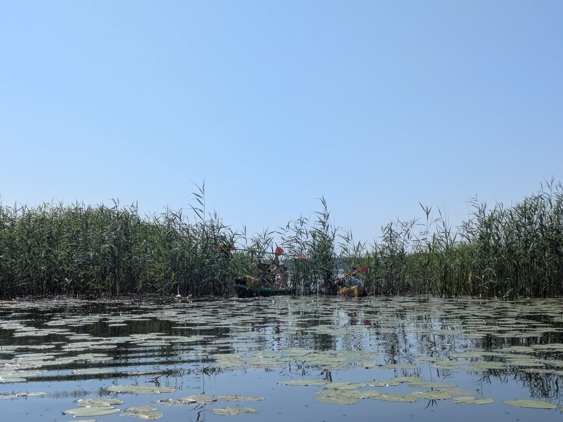
Figure 16: Entering the river through the reeds.
It’s a quick 1 km to the lake (where we passed the public campsite just after the bridge that crosses in front of the lake). Entering the lake required crossing some reeds, and then we found ourselves on a perfect blue lake under a perfect blue sky. The lake crossing itself is around 4 km and is best done along the left shore. We crossed through the middle but were constantly drifting off due to currents and winds. The exit was a bit tricky to find, but is slightly before the far end of the lake on the right side and hidden behind some slightly more dense reeds.
From this point onward, the river Rinda is wider, stronger, and straighter than the Engure, and the scenery changes from a tree-covered river to open skies. The river even includes some wider lakes, as well as some campsites alongside it.
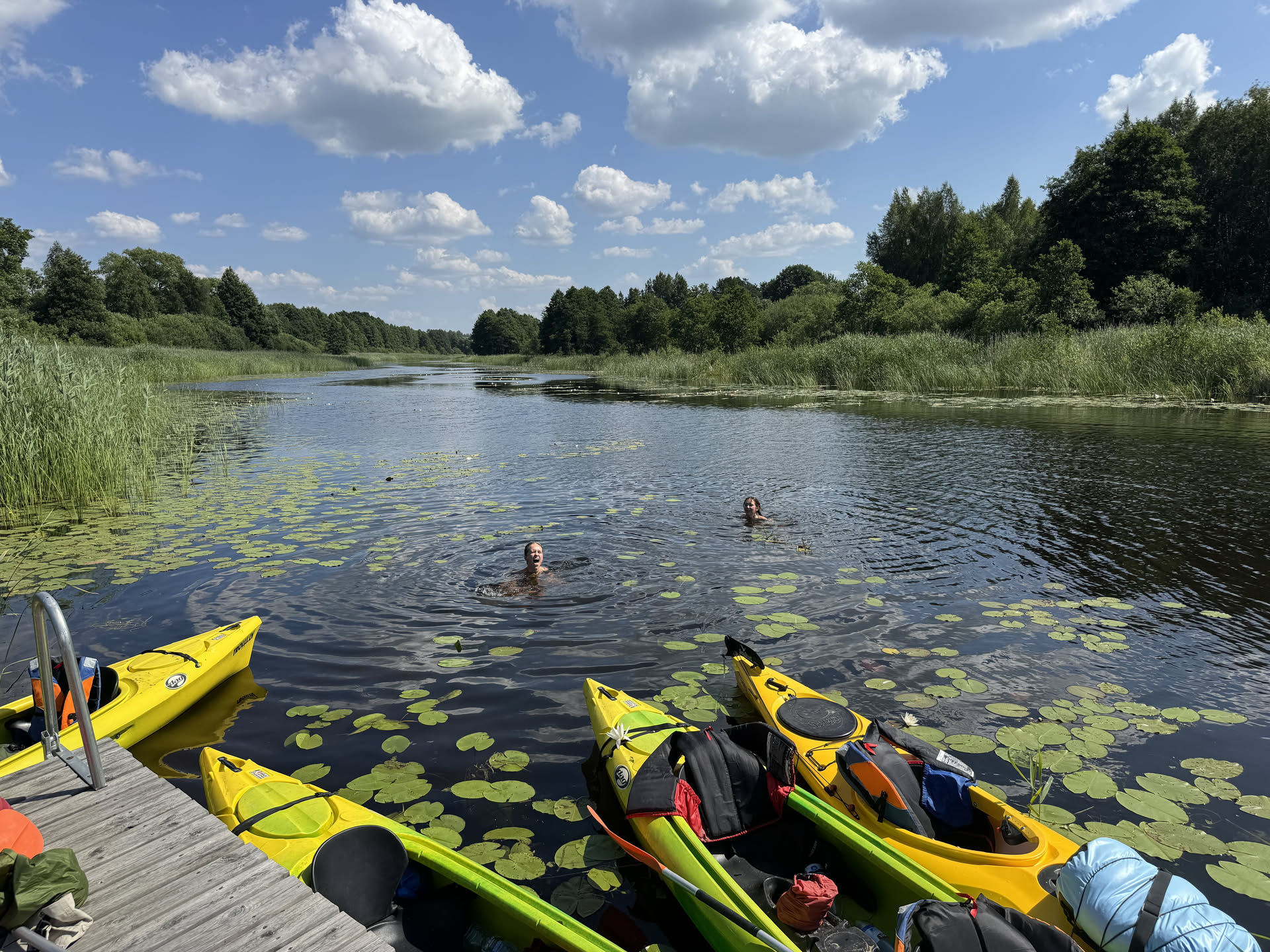
Figure 17: Swimming for lunch.
We had lunch at a small private campsite as well (Upes osta), and called them to ask if we could use the picknick tables. They would also have had running water to fill our bottles, but the facilities were locked and they were not present at the time. (Although they did offer to come over for this.) The sunny weather got pretty intense at this point, and so we improvised some much-needed shadow by spanning a tarp across a party-tent frame. A nice swim in the river also provided some cooling.
For the next stretch, we had a swap of boats, resulting in some faster and some slower boats. In particular the 1-person boat was less stable than the 2-person boats and required some more swapping around afterwards. The river also became much smaller and covered in reeds again here, making it easier to get stuck.
Figure 18: Day 2 scenery.
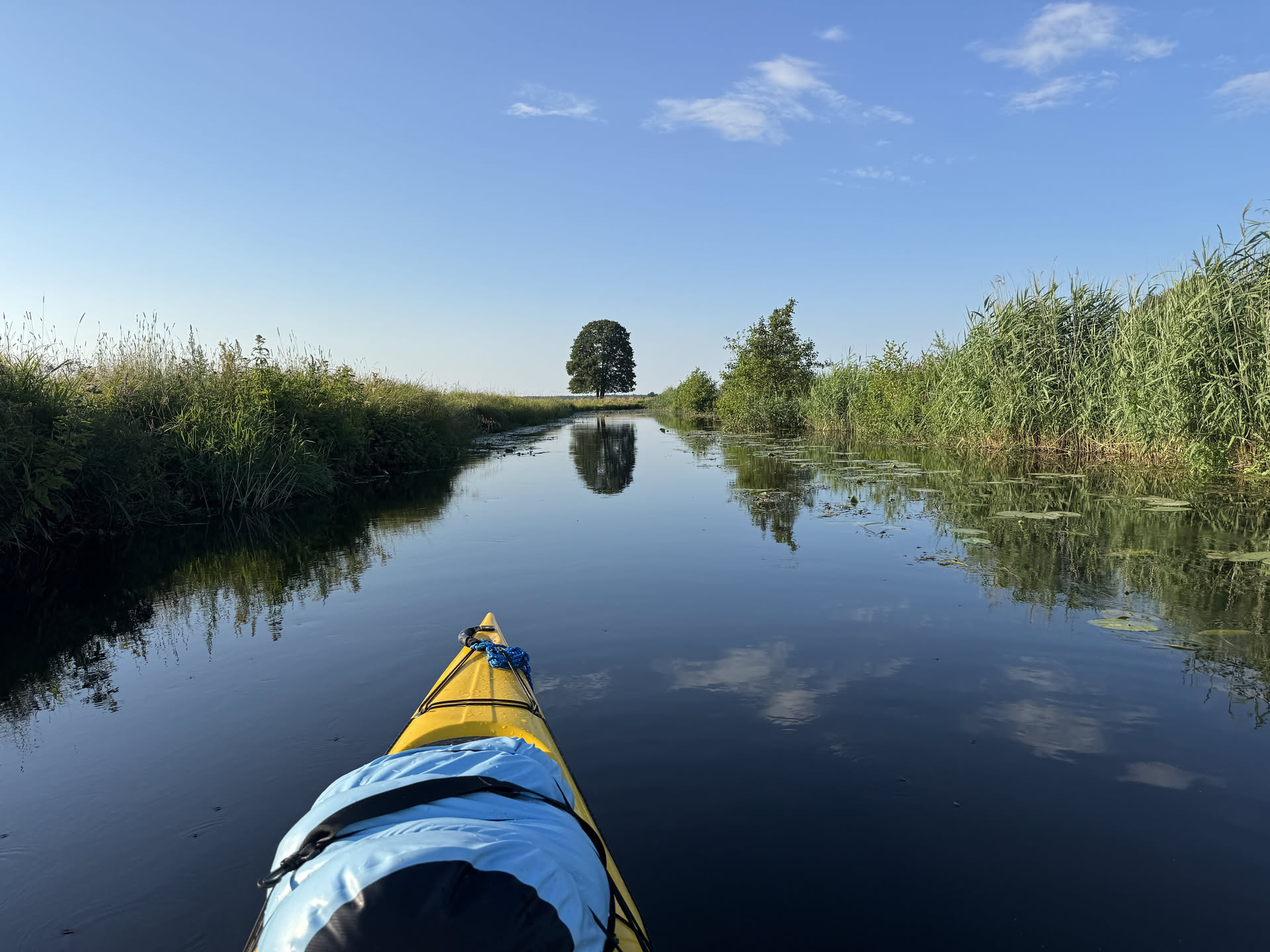
Figure 19: Day 2 scenery.
Then the river widened up again and had many beautiful old trees covering it again, making for some very nice moody scenes. We then saw a water tap at a campsite along the route and collected all empty bottles to fill them up, only to find out that the water was in fact river water :") (Also, we were totally ignoring the ‘private land’ sign… be ready to play as dumb tourist I suppose.)
Here the surroundings changed to more open farm lands without much to see beyond the riverbank. (This stretch is probably what makes the Rinda part less popular for day trips than the other parts of the route.)
After regrouping, we decided that half of us will go ahead to Rinda to search for water and a camping spot, while the other half found their way to the end with the use of some ciders.
At the Rinda campsite, there were a lot of people (as predicted), including a big group of 30 with a bunch of music. We asked around, but it turned out the campsite did not have running water, and that the owner of the adjacent house was out at the moment, but at a church service. After waiting a bit and with the help of our Latvian group member (who feigned (x2) being a lost international tourist, most importantly not of the drunk kind), we were able to get some holy water from the priest’s garden tap.
Meanwhile, others had gone ahead to search for a good place to camp. We got out at several places along the river, but it wasn’t very promising, with the ‘best’ spot being covered in half-meter tall grass, uneven grounds, and many mosquitoes. Luckily, a look at Mapy (or openstreetmaps, but not Google maps), revealed a public campsite (maps) just a couple hundred meters ahead, roughly 1 km after Rinda.
We set up camp and had a great dinner around the campfire.
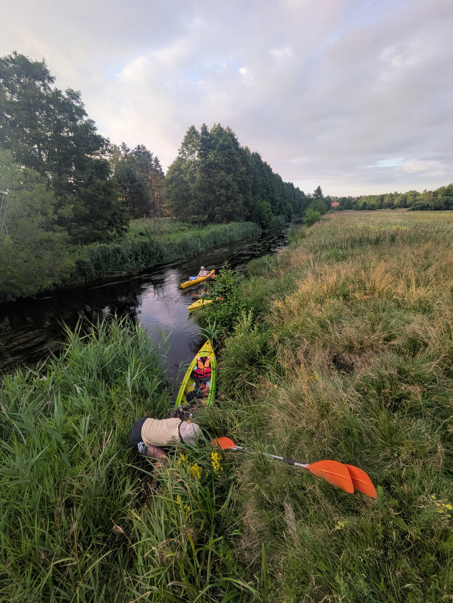
Figure 20: Not camping here..
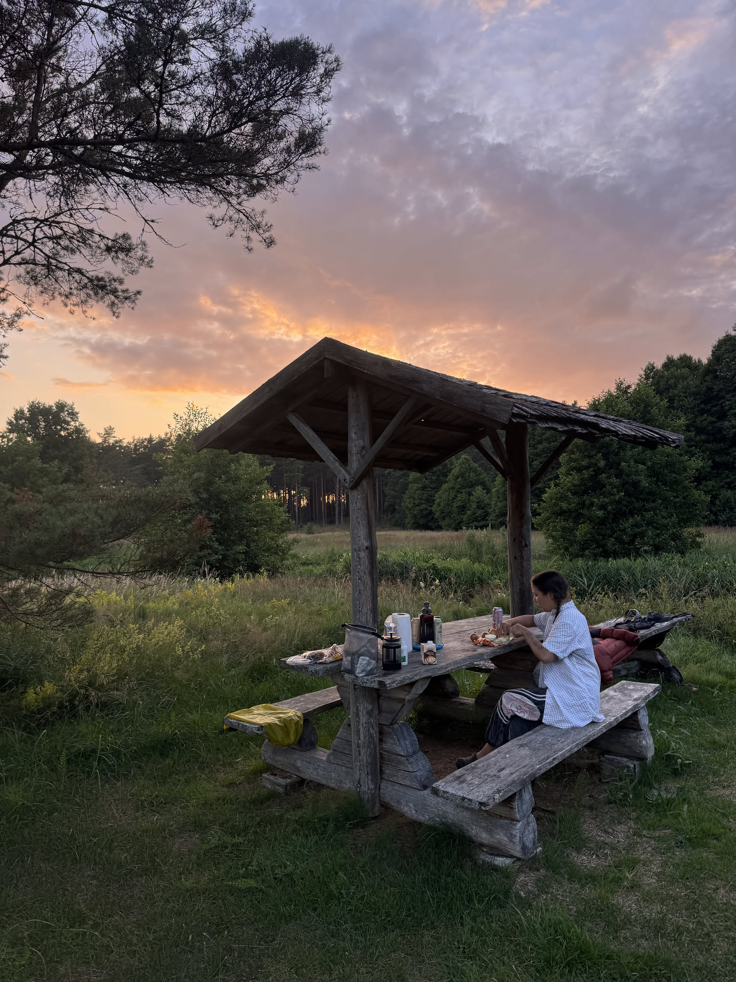
Figure 21: Sunset.
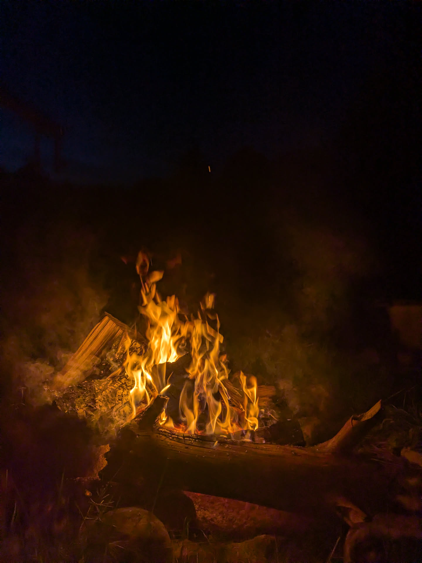
Figure 22: Campfire.
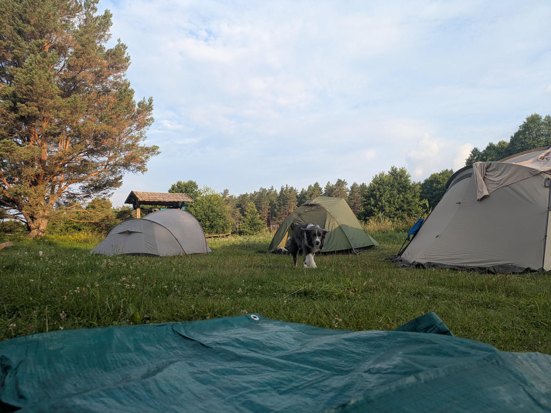
Figure 23: Morning campsite.
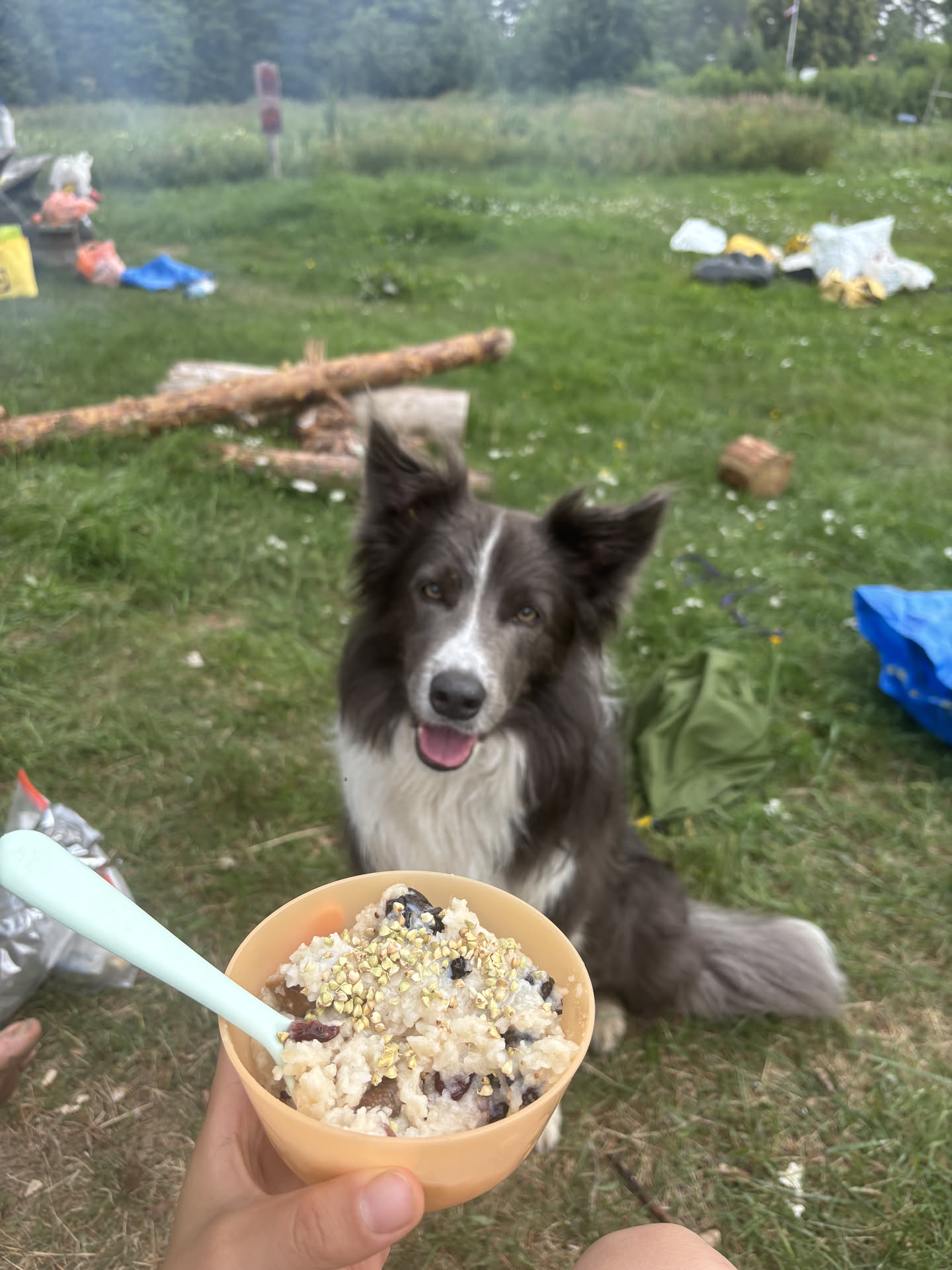
Figure 24: Breakfast oats.
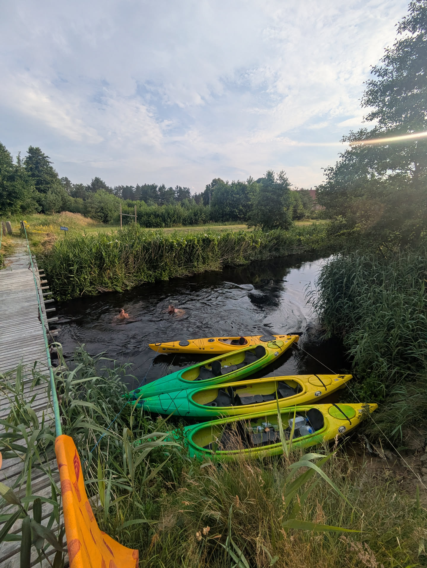
Figure 25: Morning swim.
Day 3: Rinda to middle of Irbe river + walk to ghost town Link to heading
22 km; 4h moving; 6.5h total including the walk
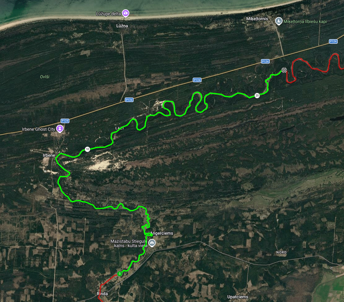
Figure 26: Day 3 route: Irbe river part 1.
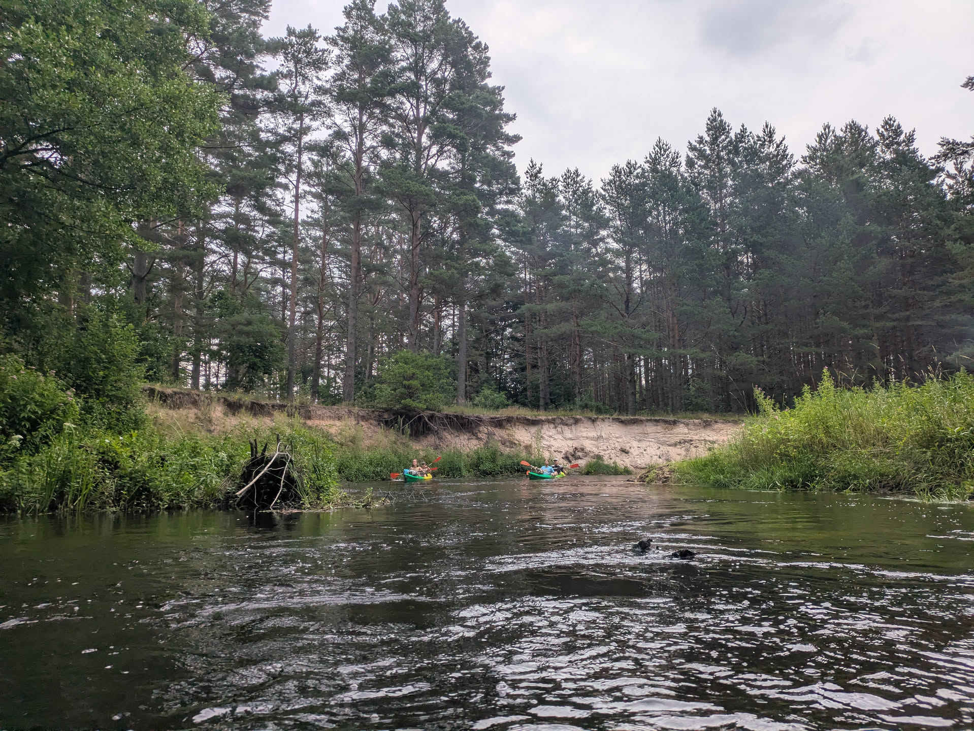
Figure 27: Rinda scenery.
The third day starts with the last few km of the Rinda river, which turned out to be quite adventurous including some rapids (where the river is shallow) and sharp turns to avoid all the fallen trees. We tried to leave before any other boats (as this is the start of popular 1-day and 2-day trips (partly) to the sea), but there were already a few small groups ahead of us on the river when we left. But they were easy to pass.
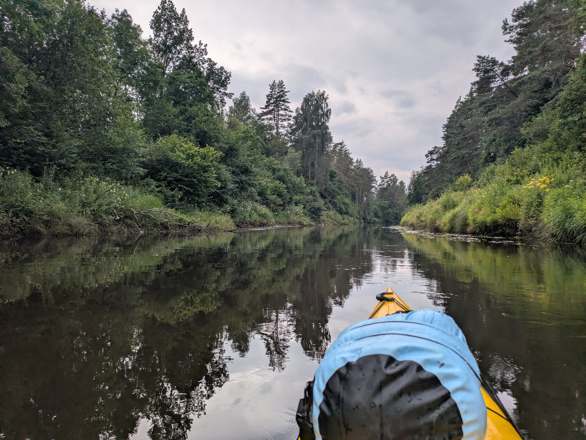
Figure 28: Irbe scenery.
The Rinda then joins the larger Irbe. Rain was predicted for the afternoon, but we already had a few small drizzles at this point. Around this time, I got massively attacked by hornets and my back was pretty much a battlefield… (they were happy enough to poke through my shirt :/) It did get better after DEET-containing anti-musquito spray.
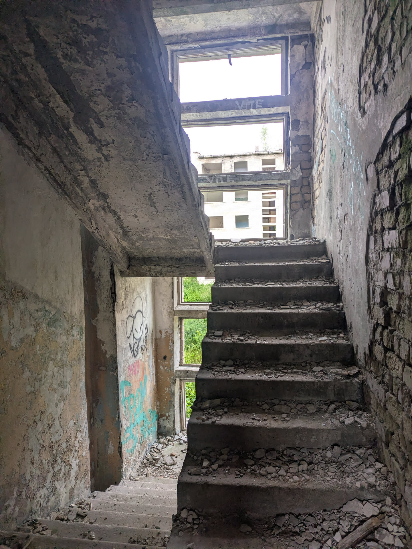
Figure 29: Inside the ghosttown.
Anyway, here the terrain changes to proper sand dunes/cliffs covered by pine forest, and the current picks up a bit more. We came across a few campsites with people ready to depart, and then made a break on the left bank of the river after roughly 10 km. From there, we walked ~1 km to Irbene, a Soviet ghost town that was abandoned in 1993. It hosted a secret radar centre and still now hosts a big radio telescope. The older telescope can be visited with a pre-booked tour. The buildings can still be entered, and it’s really cool to see how nature is taking over the place.
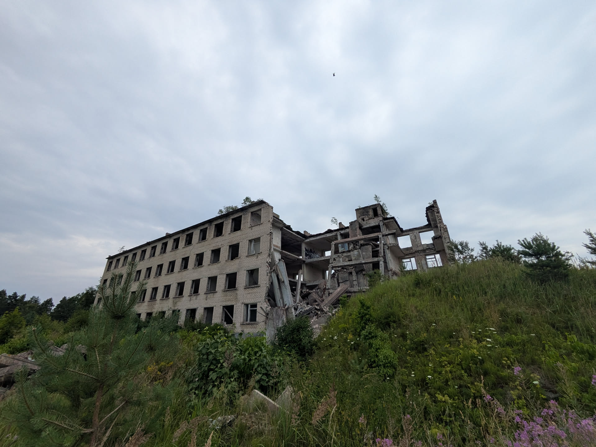
Figure 30: The ghosttown.
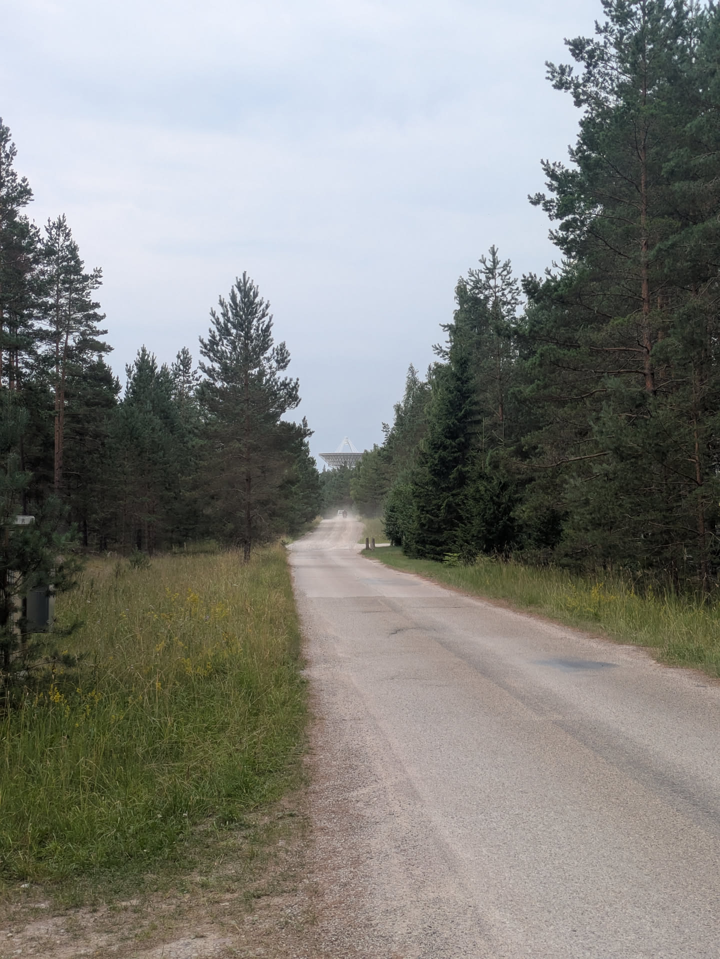
Figure 31: The modern 33 m telescope.
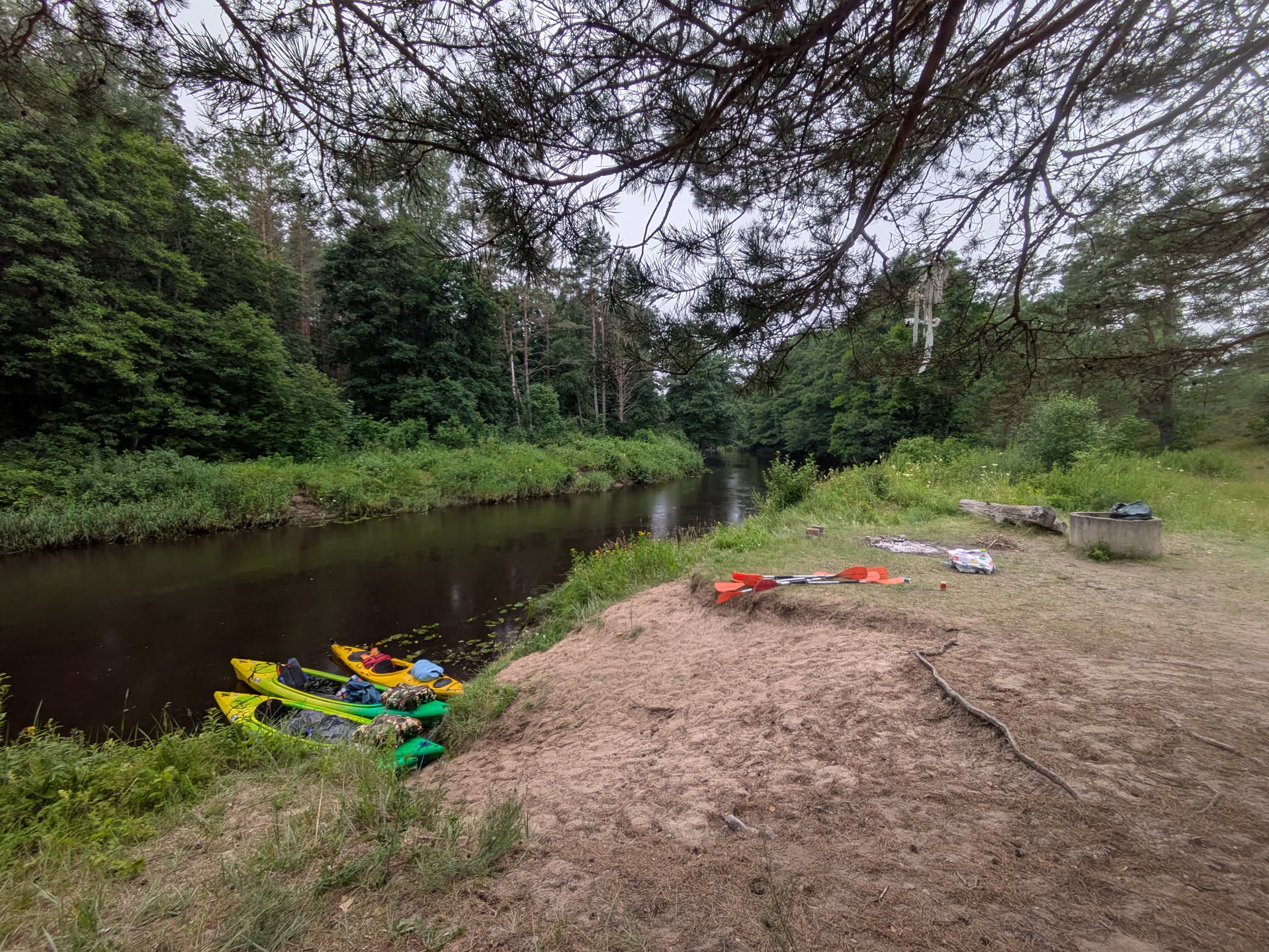
Figure 32: Lunchbreak.
After walking back, there was more drizzle, and we had lunch under a tree. During our break, quite some smaller and larger groups passed us, and we were slightly worried that they would take up all the good camping spots down the river.
Once we got going again, we quickly started taking over some of the other groups and also passed some bigger campsites and pick-up points for 1-day tours. We started looking for a spot after ~20 km, and found a nice place on a sand dune/cliff on the left bank not too long after, around 4 pm (much earlier than the previous 9:30 pm arrival).
At the campsite, we enjoyed a nice swim, some unsuccessful fishing, and had fun fixing a construction to hang the pot over the fireplace while others were grilling some sausages. (I found a dead tree and had a lot of fun stripping it down with an axe, but a better solution was already found by the time that was done ;)
I should mention here that (unlike at previous campsites closer to villages) we had very little network reception here and sending messages and calling did not work reliably. Inside the river canyon itself, there is usually no coverage at all since you are in a depression in the landscape.
Since there was rain predicted for the night, we also put up a tarp between some trees to put our stuff under. It ended up catching a lot of wind that came over the river towards our cliff, and in the end we simply put all our bags in between two tarps on the ground. I used a picknick blanked repurposed as small tarp to cover the hammock from the rain.
After we arrived, there were no other groups passing us at all anymore, so most must have either camped already before our place or have done a shorter 1-day tour. We did, however, see two women swimming down the river seemingly unbothered. Quite some time after, somebody came walking down looking for them, and then later came walking back up again after having found them.
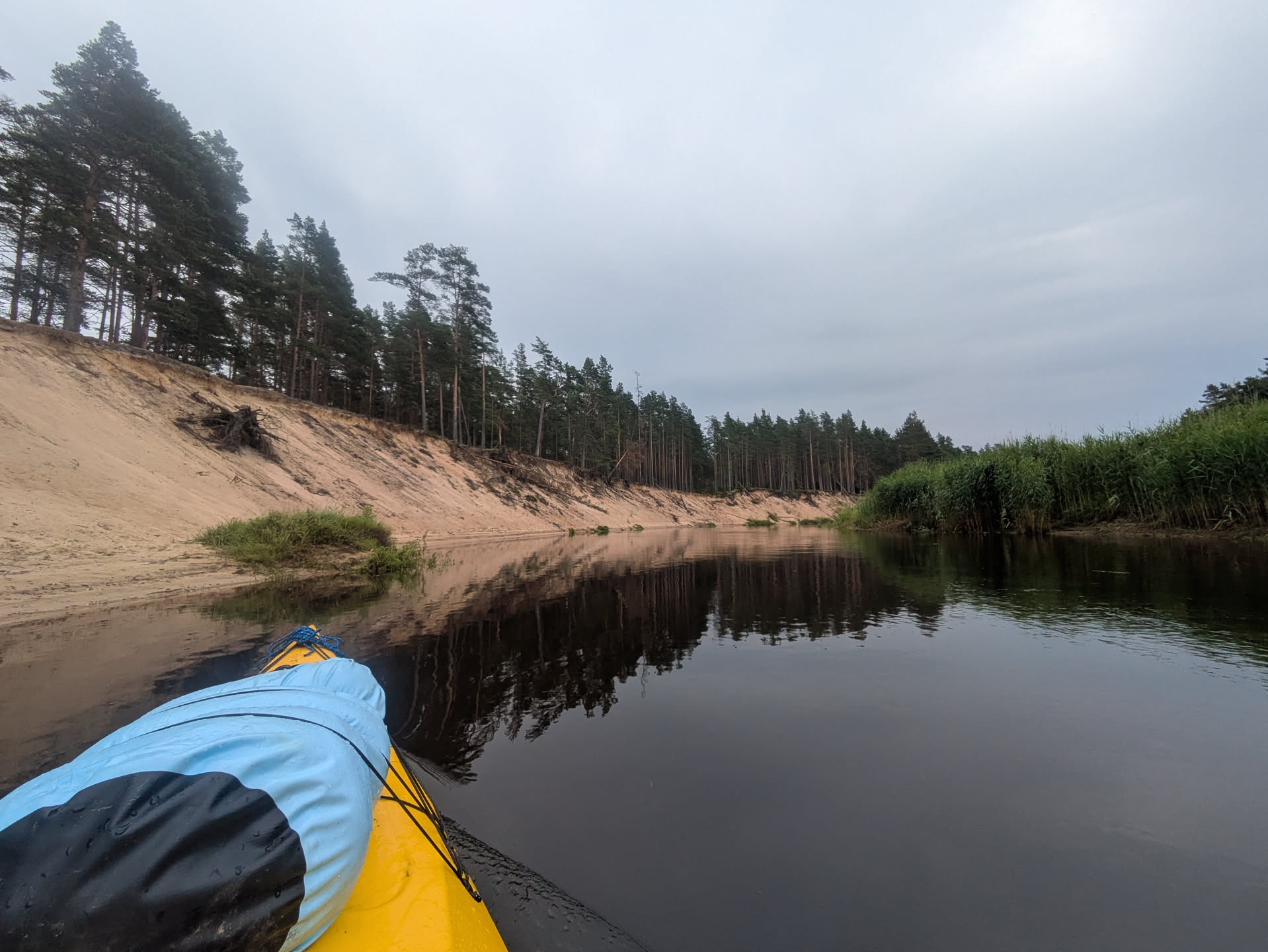
Figure 33: Dunes.
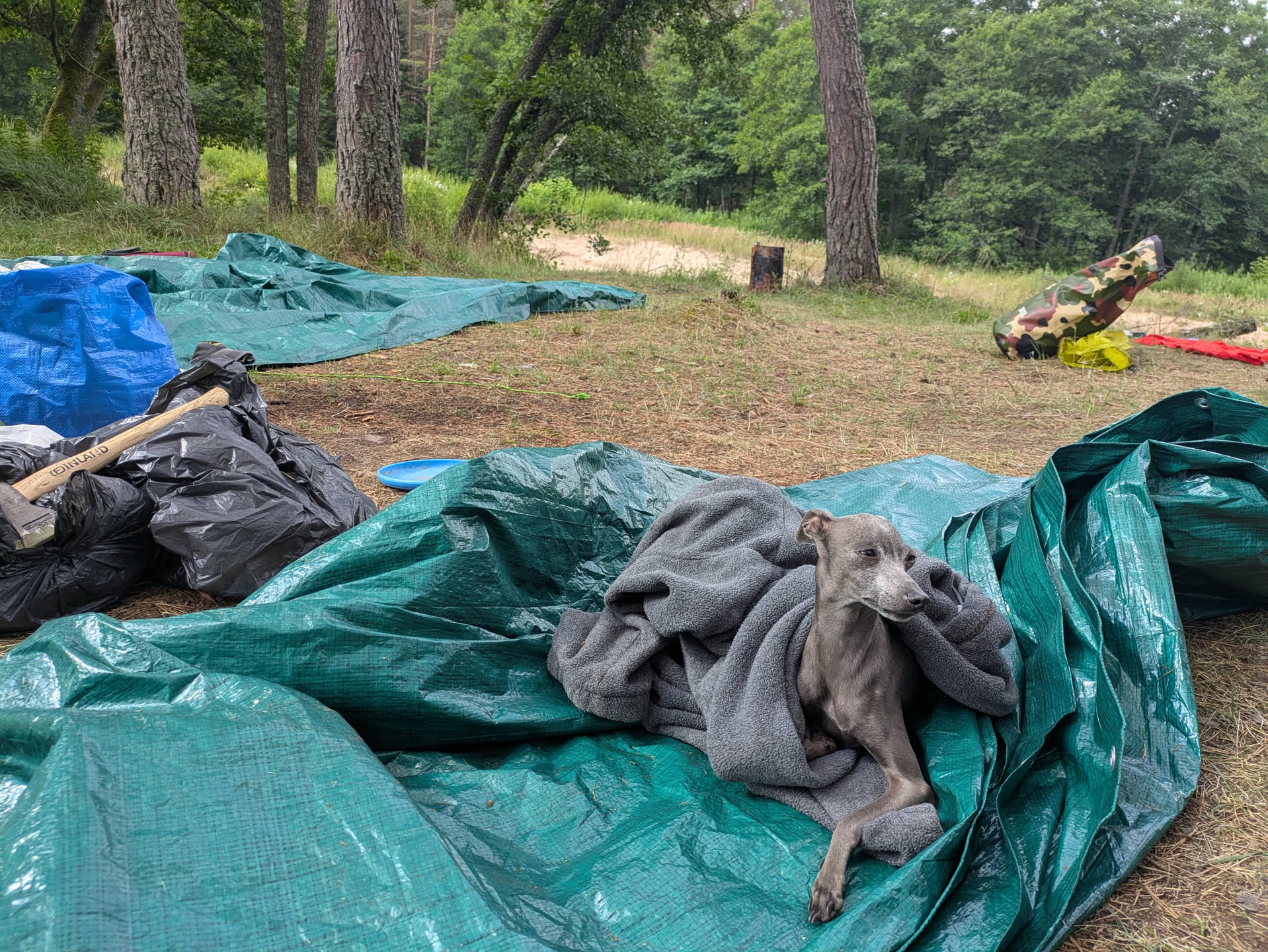
Figure 34: Our doggy.
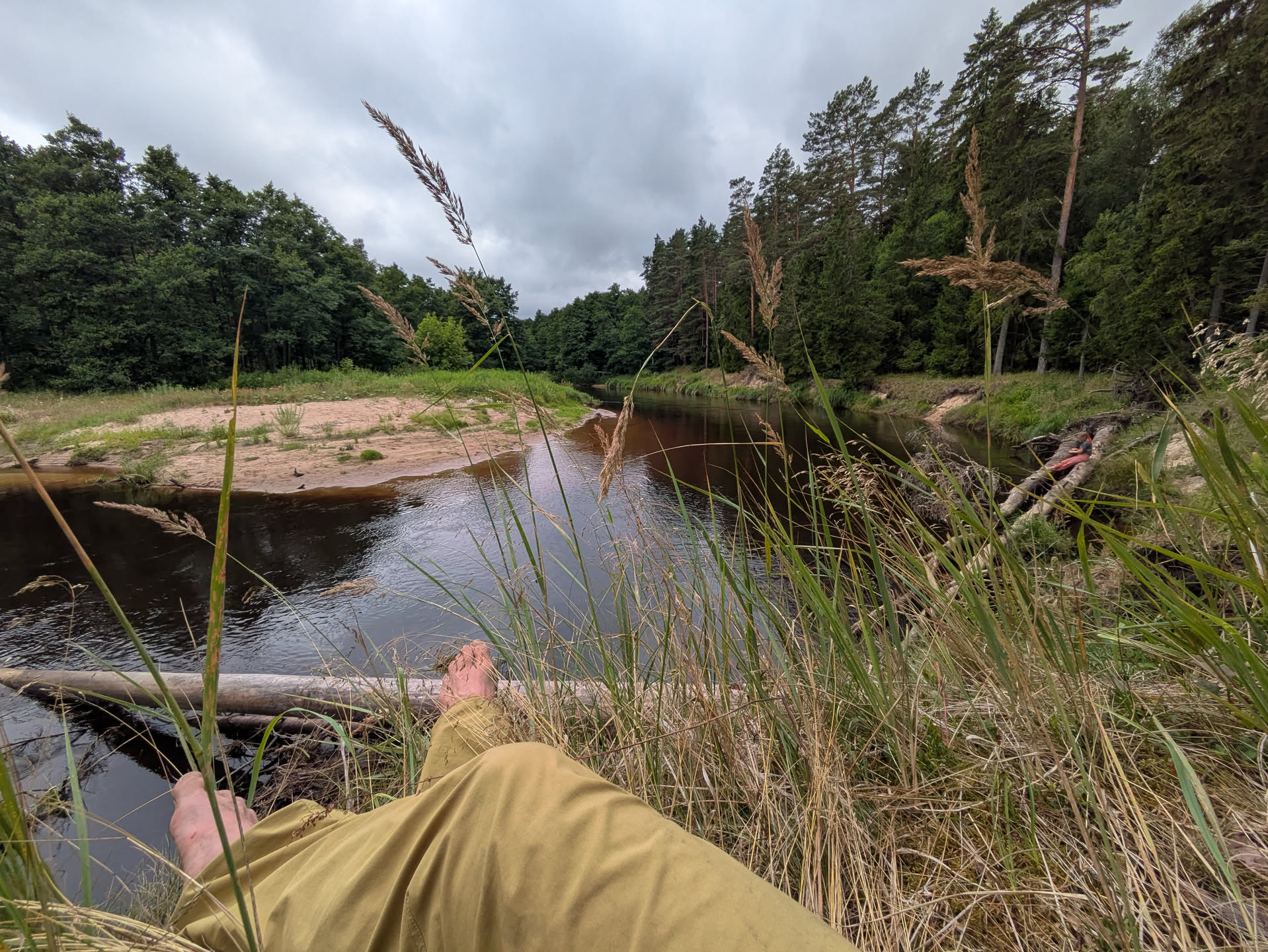
Figure 35: View from the campsite.
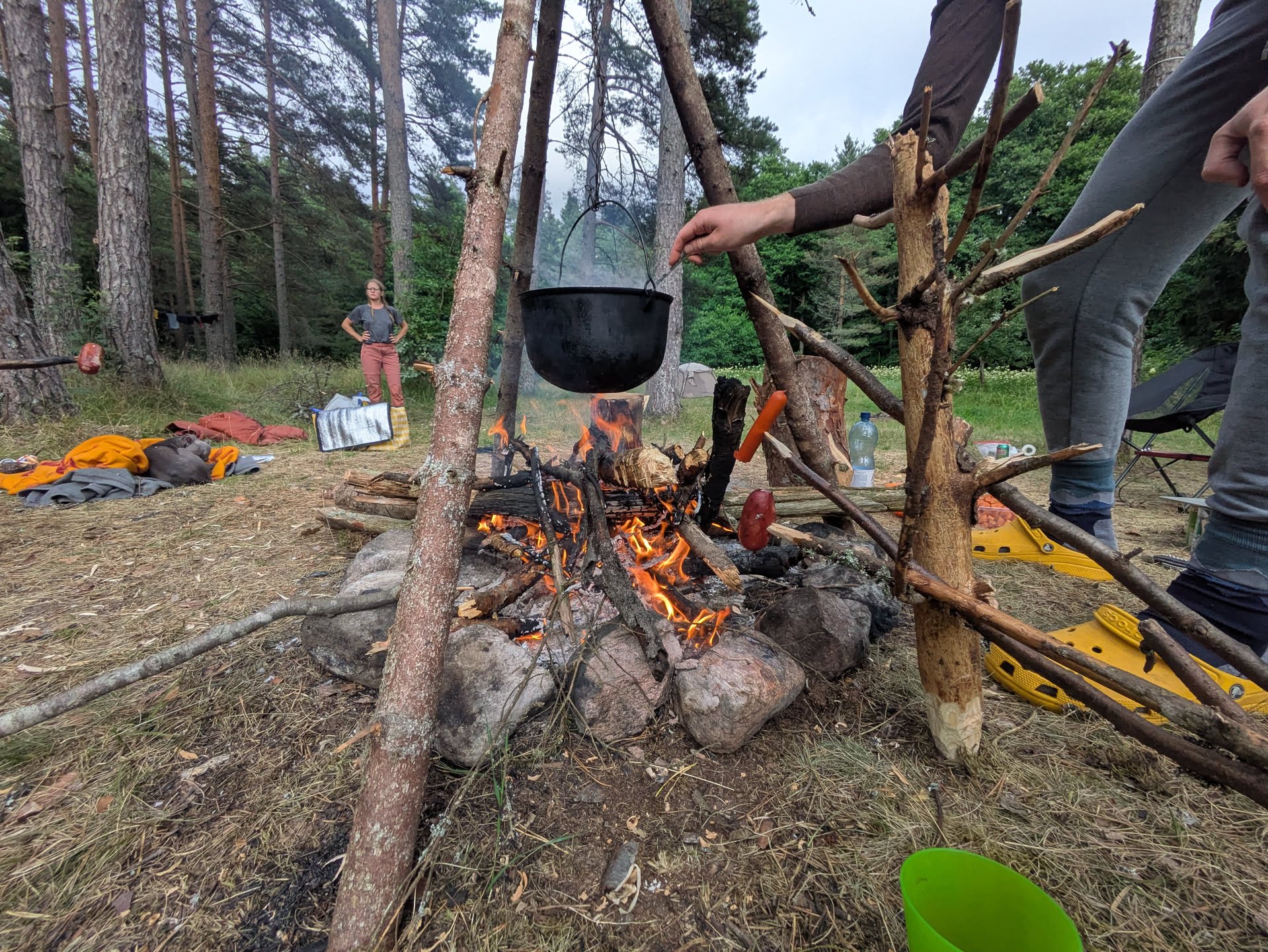
Figure 36: The fire place.
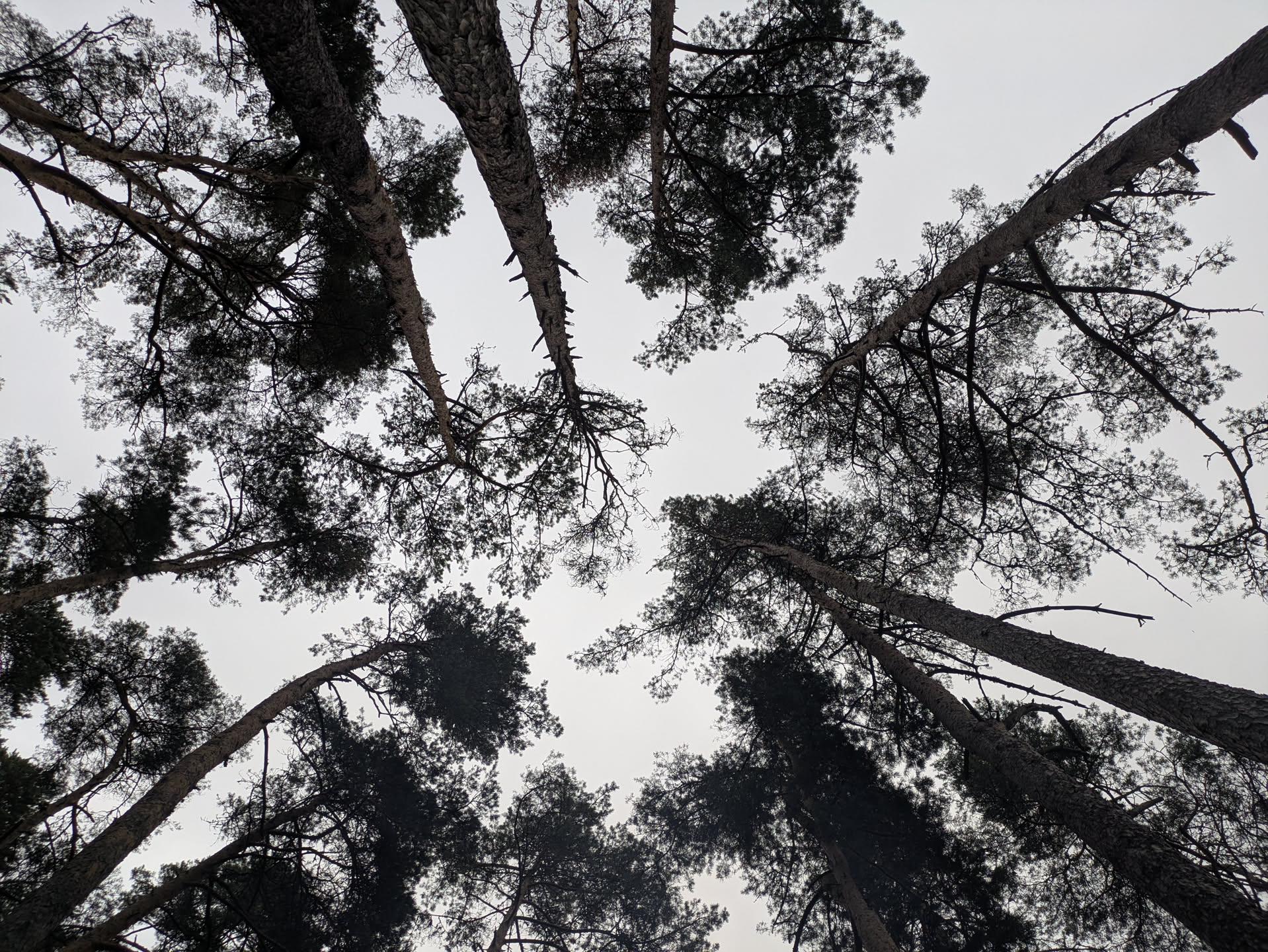
Figure 37: Trees :)
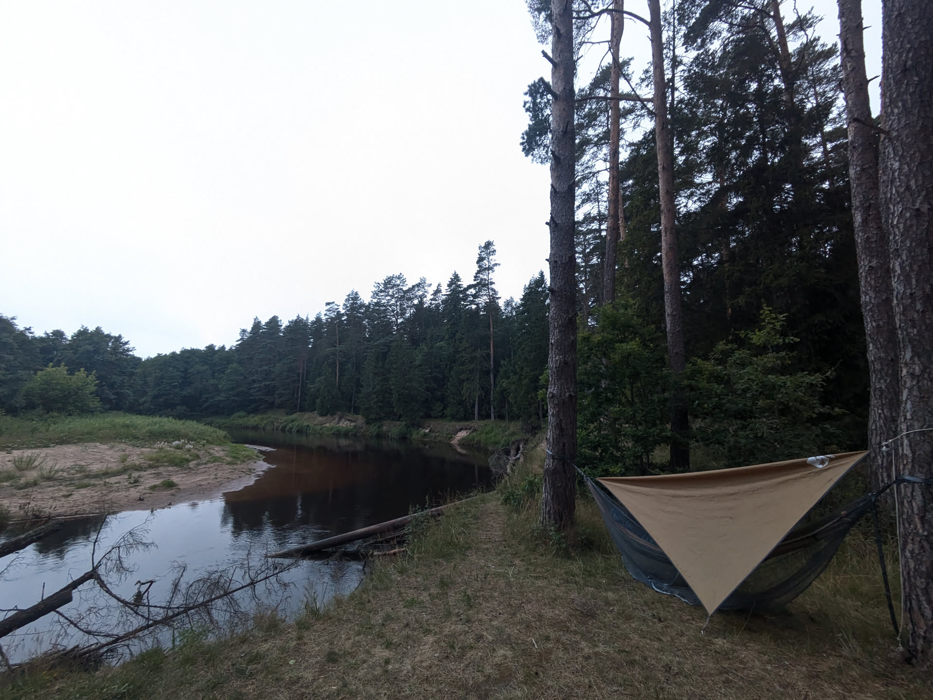
Figure 38: The hammock and tarp.
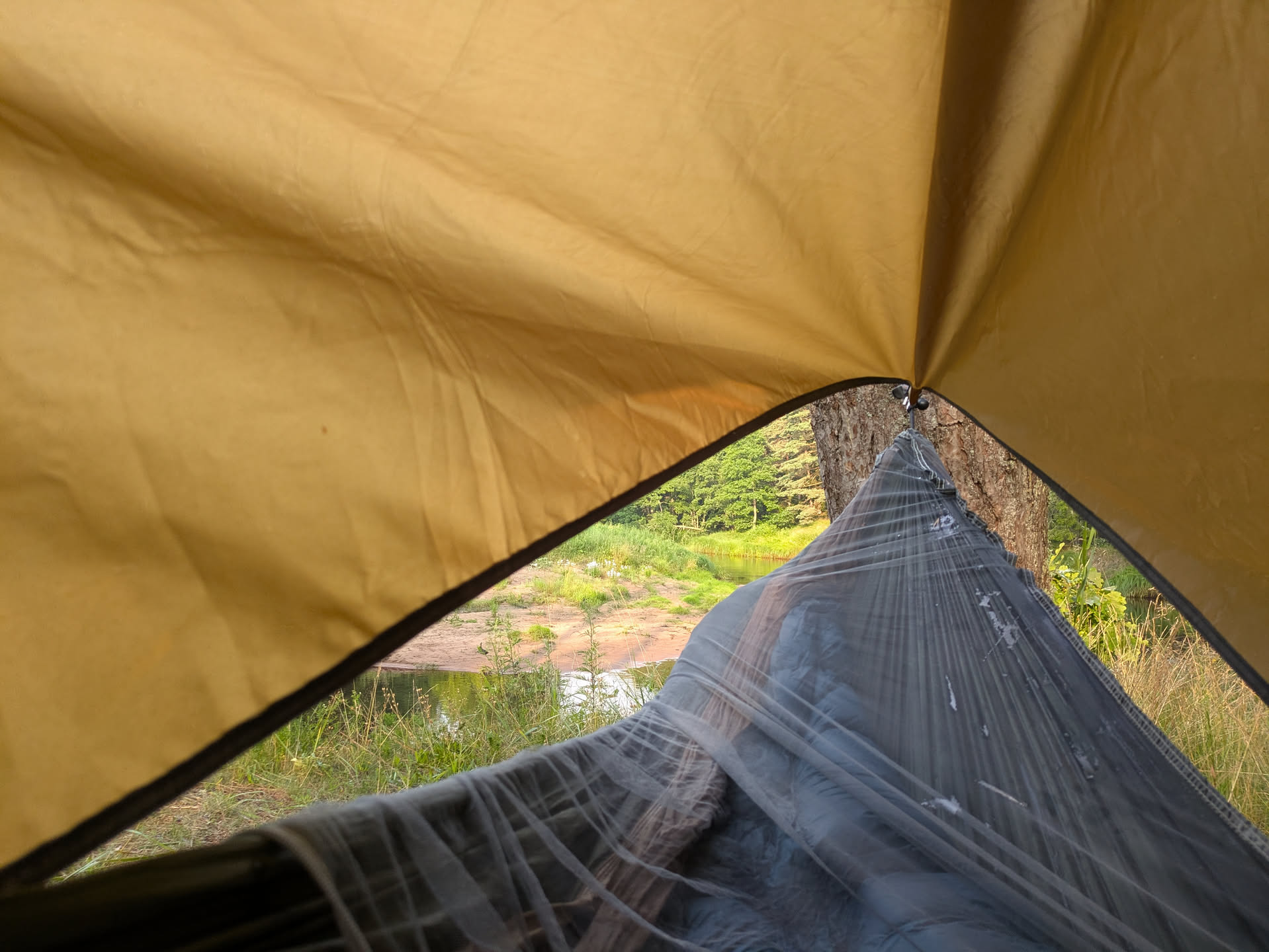
Figure 39: Waking up in the hammock.
Day 4: Irbe river to the sea Link to heading
18km; 3.5h moving; 4.5h total
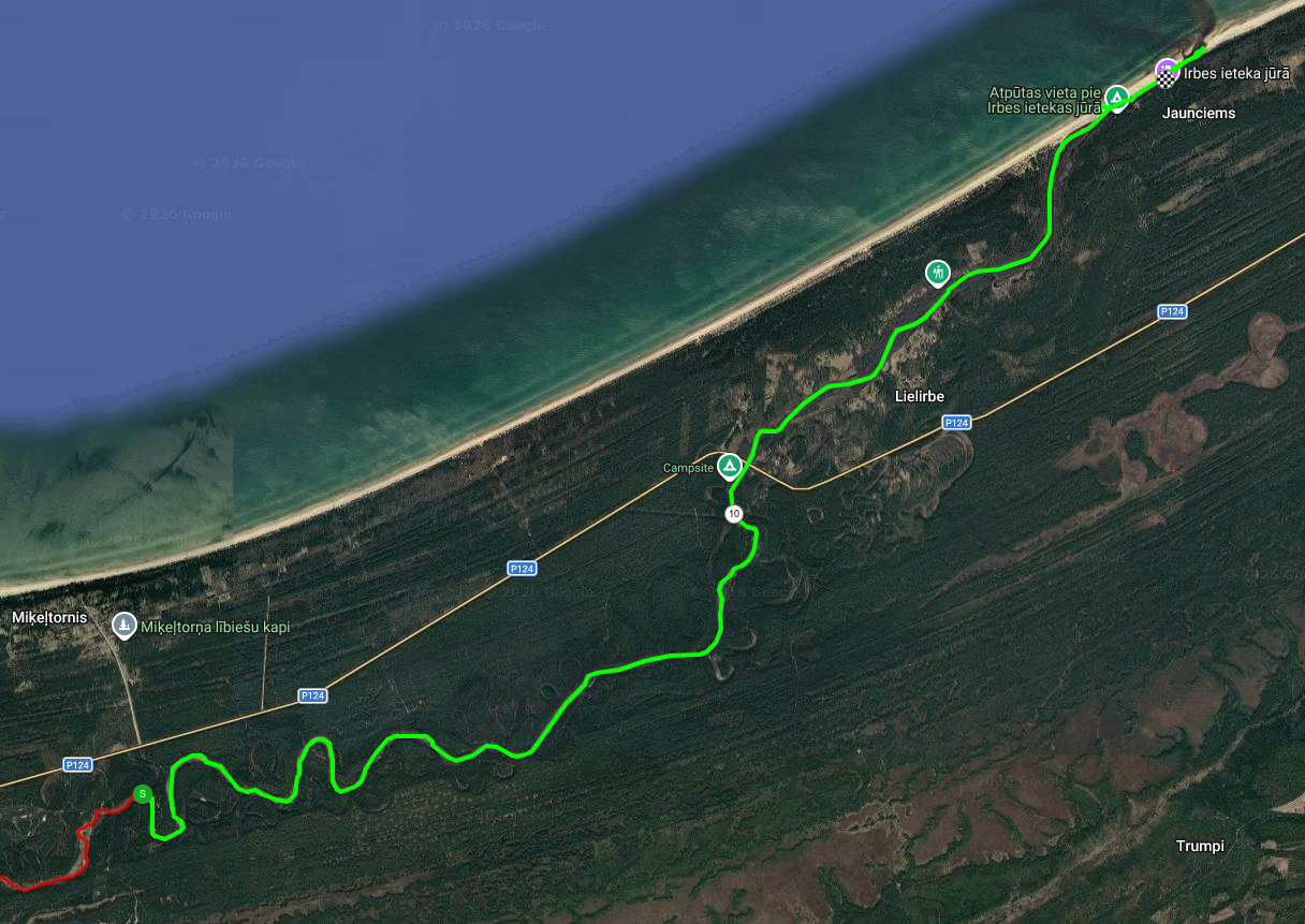
Figure 40: Day 4 route: Irbe river part 2, to the sea.
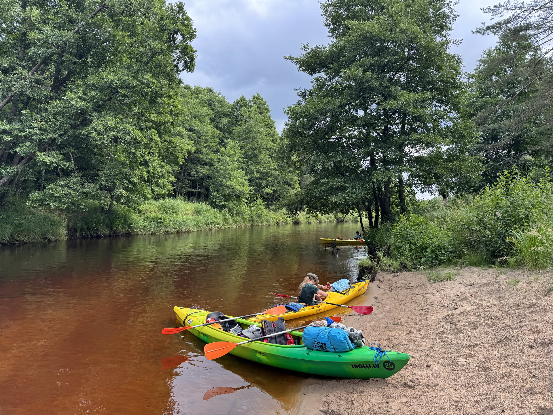
Figure 41: Quick break.
The last day was a pretty short one and we covered the entire stretch to the sea in a single go, helped by the currents. The beginning of the route still had higher dunes, but then the surroundings turned to more flat and open forests that eventually turned into a small strip of sand separating the river from the sea.
We had hoped to go into the sea a bit with the boats, but it was too windy and the waves too high to make that work. Instead, I just had a quick dive. If kayaking in the sea had been possible, we would have gone ~1 km East along the coast to another pick-up point, but now we had to go kayak back a bit from the river mouth to the slightly upstream campsite. (The wind and currents looked quite strong and we anticipated that the upstream kayaking would be very intense, but it turned out not to be a problem at all.)
At the campsite, we emptied the boats, pulled them on the land, and carried them to the pick-up point. Then we had our last lunch while waiting for the pick-up.
The ~1.5 h drive back was not very eventful and filled with some smalltalk with the driver, looking through some pictures, and reading up on a backlog of messages from the past 2 days.
Back at the starting point of the trip, we emptied the rented dry-bags and transferred our luggage back to our cars. We also said goodbye here to the two of us who continued their camping trip.
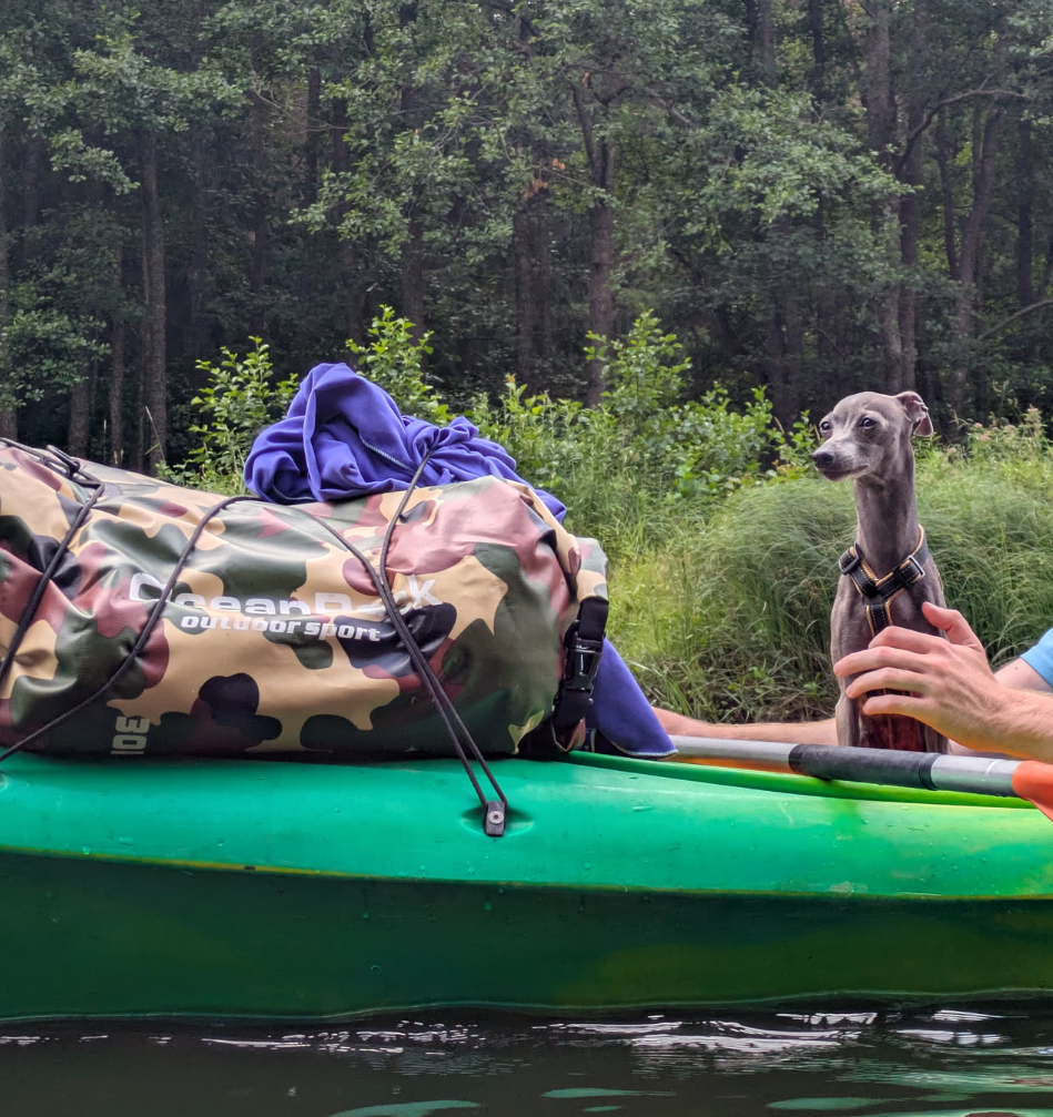
Figure 42: The doggie.
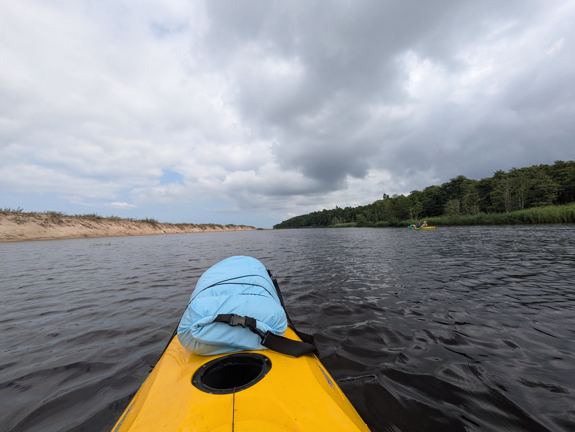
Figure 43: Final stretch.
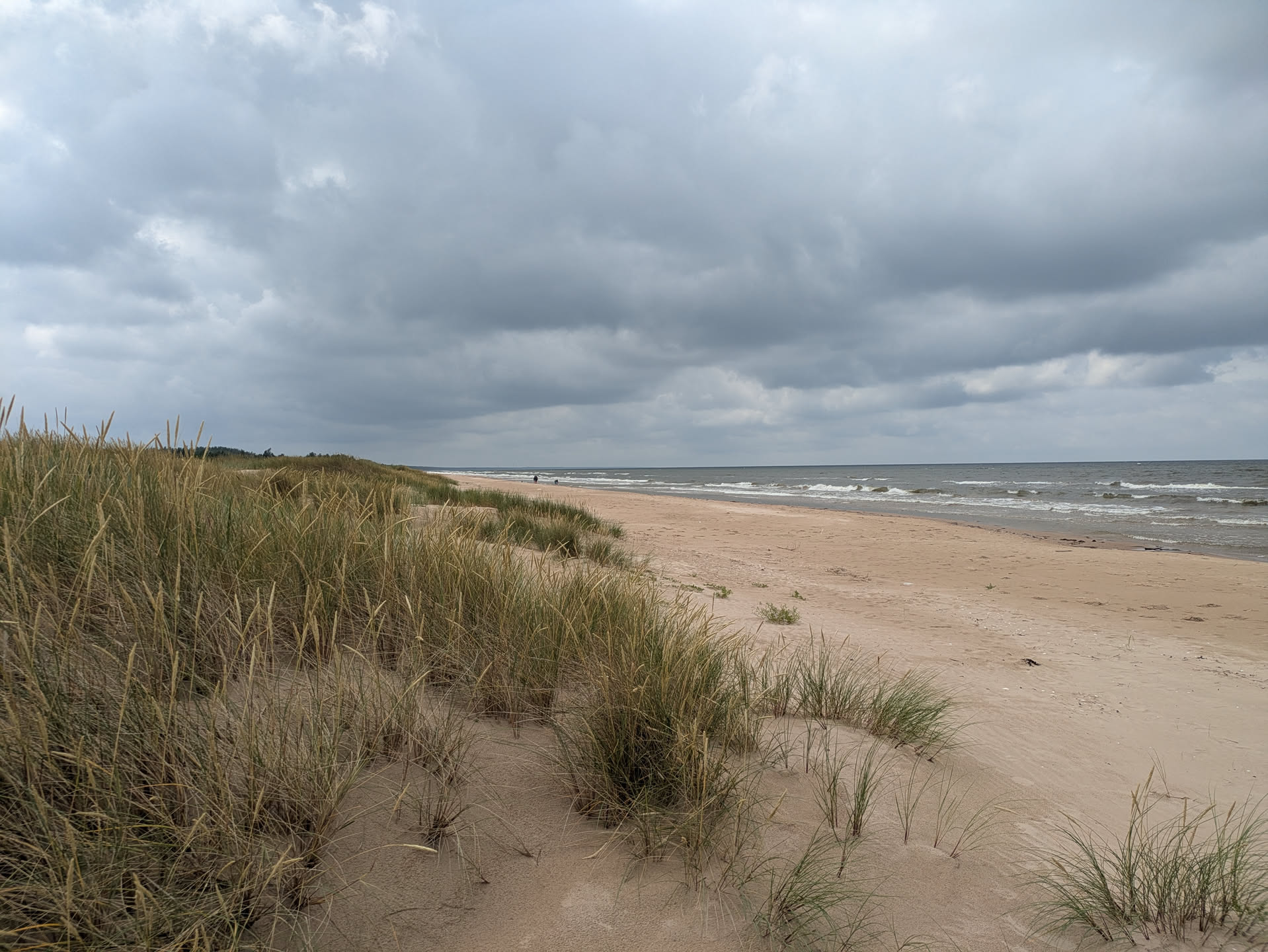
Figure 44: The sea!
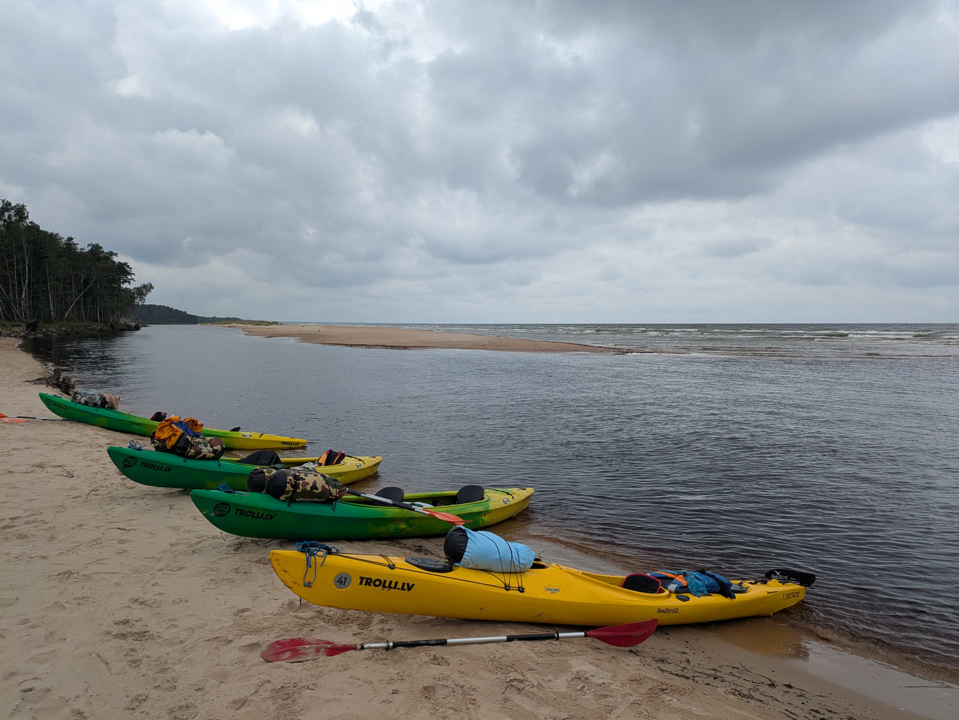
Figure 45: The river meats the sea.
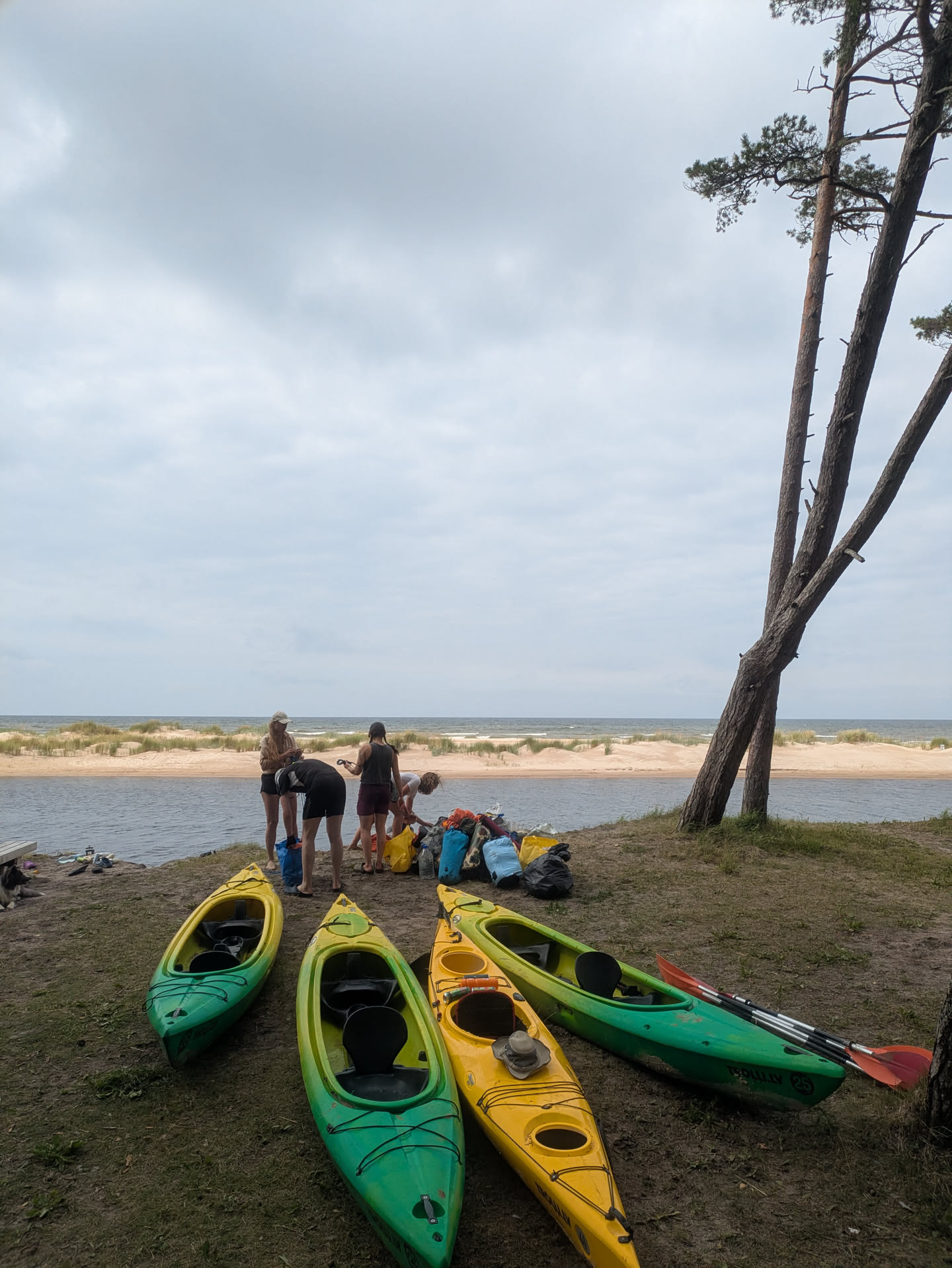
Figure 46: Back on the dry.
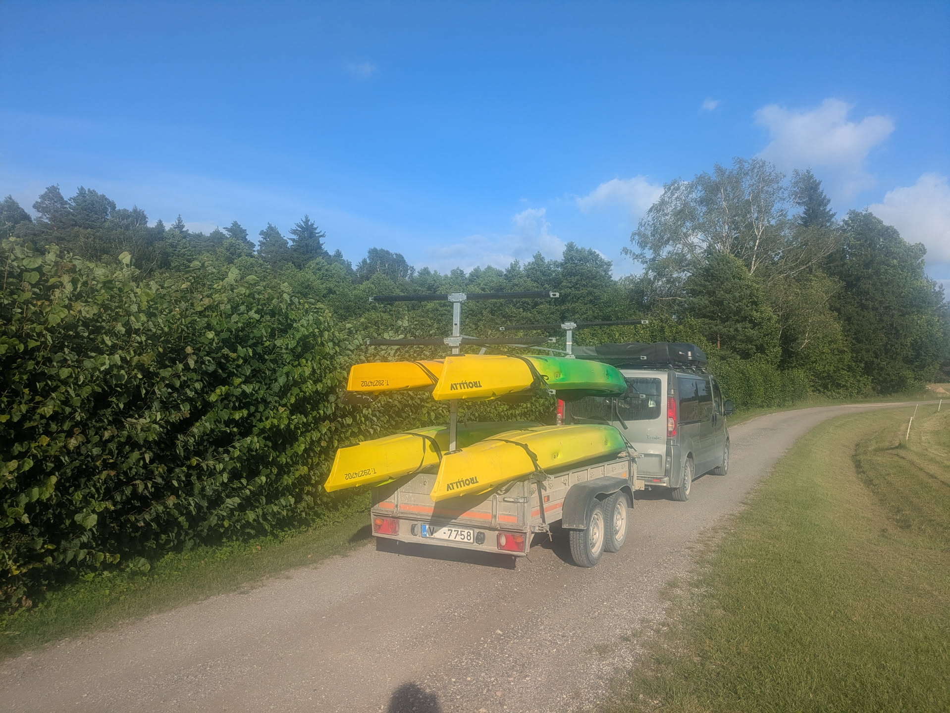
Figure 47: Goodbye boats!
Countryside Link to heading
Five of us drove 2 hours to Riga, had fastfood burgers, and then drove 2 more hours to the Latvian countryside house, where we spent some more days to relax and unwind.
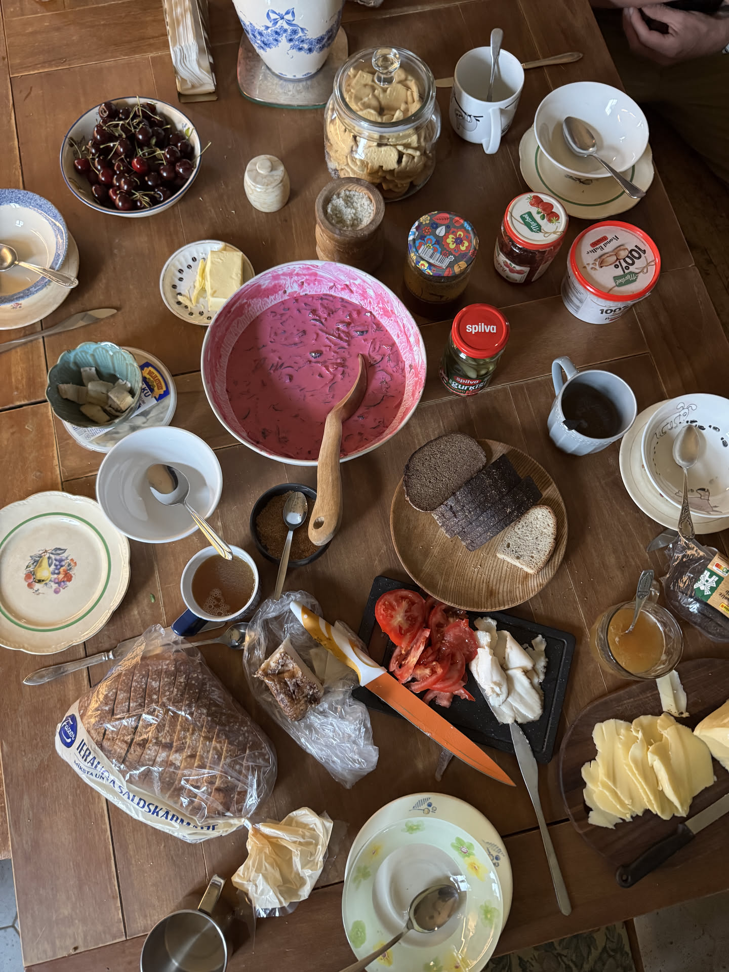
Figure 48: Food.
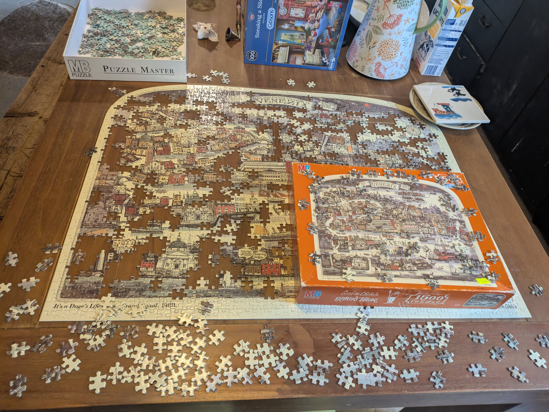
Figure 49: Tedious puzzle…
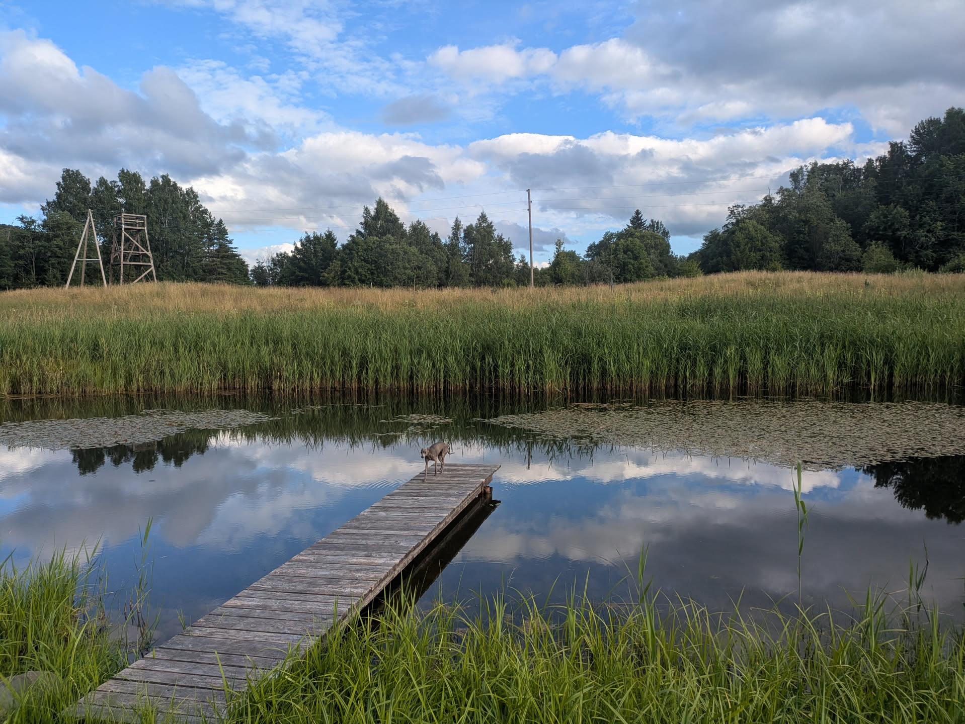
Figure 50: Pond for morning dips :)
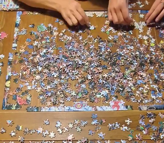
Figure 51: Click for video :)
Logistics Link to heading
Boats Link to heading
- rental: https://www.trolli.lv
- 3x 2 person boat
- 1x 1 person boat
- 7x large (30L) dry bag
Water / drinks Link to heading
We brought the following drinks:
- 5x big 5 L water containers (1 per boat and 1 extra).
- 6x 1.5 L sparkling water bottle for refilling and easier drinking.
- 3-4 cans of beer/cider (~1.5 L) per person per day for on the boat.
- 4x 2 L coke (for mixing with rum ;)
- Some more one-off strong stuff (most notably including Gammel Dansk as per Icelandic tradition).
For morning/evening coffee and tea (and breakfast and dinner) we boiled river water.
We wanted to fill up our water containers at the Rinda campsite (the last small village before the last 2 days, and the only time we filled up), but that turned out tricky as the owners weren’t there. In the end we got some from the local church, but it’d have been easier to get some in one of the earlier villages or just to carry water for the entire trip.
At the end, we still had two full 5 L bottles and a bunch of unopened 1.5 L bottles left, as well as some coke. (In fact, I only drank plain water for the first time on the last day; just drinks and boiled stuff mostly suffices.) And we also used some of the tap water for boiling tea and coffee, so I think it would have been fine without refilling. We also brought some purification tablets to clean river water, but did not use them.
Food supplies Link to heading
On the first day, we had bread with toppings for breakfast, and the remaining days we simply used the prepared oat mixes. 2 people would wake up a bit earlier to make fire and boil river water to mix the oats in (with some extra for coffee/tea). We had separate nuts/dried bananas/caramel cream as topping.
For lunch, we mixed bread and noodles.
Each evening had two different people assigned for dinner, and we had a variety of nice meals (potatoes with chanterelles in cream sauce; wraps; rice with curry). If anything, recipes requiring two pans turned out a bit more annoying and required keeping the food warm by wrapping it in aluminum foil, and boiling rice for half an hour on a fire requires some patience, especially when the pot is high above the fire.
For snacks, we mostly relied on jerky and some sausages.
Packing Link to heading
Some non-exhaustive lists of things to think of.
Cooking:
- We used a ~9 L thick aluminum pot, but cast iron is preferable.
- plates/bowls/cups/cutlery for everyone
- cutting boards; few knives
- cleaning sponges
Sleeping:
- tents/hammocks.
- tarps + ropes (20m + a few shorter ones).
Utilities:
- 2-3m ropes to attach all the boats.
- axe
- handsaw
- shovel
- fire starters
Misc:
- sunscreen
- anti-musquito spray
- guitar / ukelele / harmonica
- Small dry bags for valuables
- We rented one 30L large dry bag per person from the boat rental for tent & clothes.
Additions for next time Link to heading
- guitar sheet music & lyrics, in plastic
- small tripod for timelapse from the boat
- handsaw, for cutting larger pieces of dead wood
Bird watching Link to heading
Some of us were into bird watching and saw/heard a number of birds for the first time. In particular as we got closer to the sea, there was a high variety in landscapes and birds that go with them.
Here’s a list of notable birds that were seen/heard (dutch in parentheses):
- Common Sandpiper (Oeverloper)
- Common Raven (Raaf)
- Eurasian Woodcock (Houtsnip)
- Eurasian Wren (Winterkoning)
- White Wagtail (Witte kwikstaart)
- Common Chaffinch (Vink)
- Great Cormorant (Aalscholver)
- Common Tern (Visdief)
- Black-headed Gull (Kokmeeuw)
- White-tailed Eagle (Zeearend)
- Great Egret (Grote zilverreiger)
- Mallard (Wilde eend)
- Common Chiffchaff (Tjiftjaf)
- Common Wood Pigeon (Houtduif)
- Common Blackbird (Merel)
- European Robin (Roodborst)
- Eurasian Blackcap (Zwartkop)
- Great Spotted Woodpecker (Grote bonte specht)